|
May 7, 2018: Our Cruise Ends in Barcelona |
|
May 2, 2018: A Day Tour of Jerusalem (Israel) |
|
Return to the Index for 2018 |
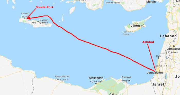
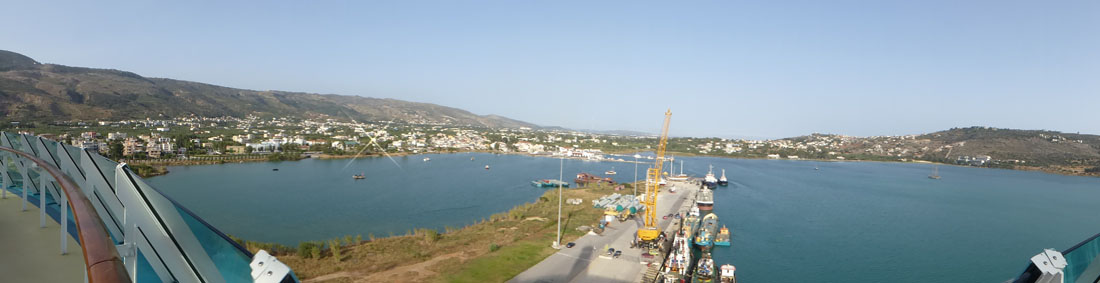
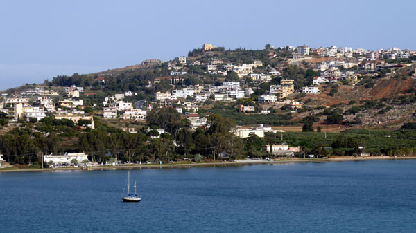
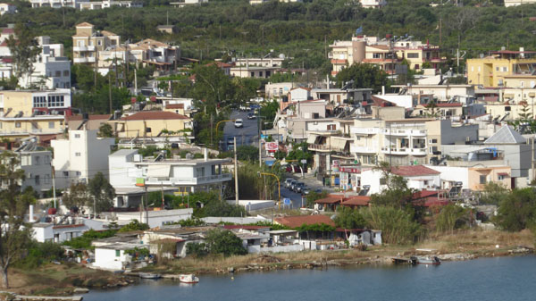
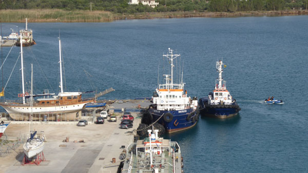
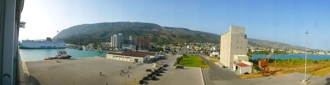
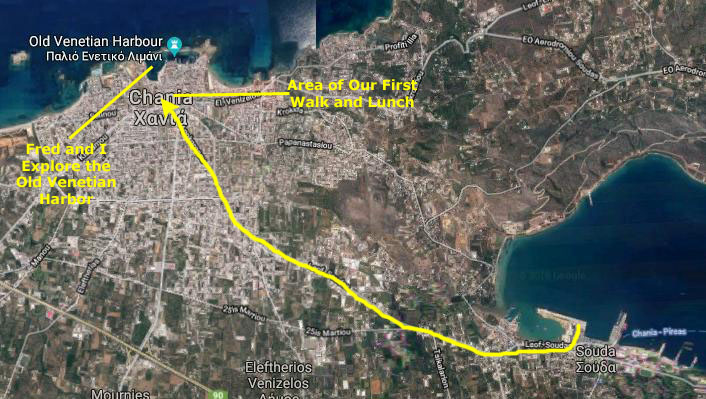
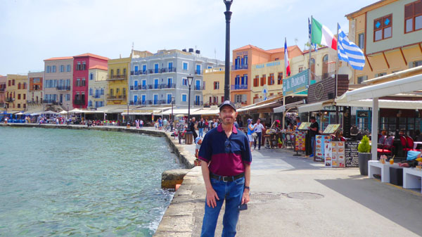
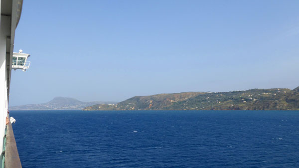
We had a sea day after our visit to Jerusalem, and this morning we are docking in Chania, on the Isle of Crete (which, of course, is part of Greece). We have no organized shore excursion booked, so we are just going to take a local bus from the port into town to spend the day.
Docking in Souda- The Port for Chania, Greece
We left Ashdod, Israel, about nine o'clock in the evening the day before yesterday, and we have spent a sea day traveling some 600 miles to get from Israel to the Isle of Crete.
|
As with all our sea days on this cruise (and all our sea days on all our cruises), it has been smooth sailing. On this cruise, just about the only time we had any noticeable sway (where we could see the hanging lights in the elevator lobbies sway back and forth) was on our first day out of Singapore.
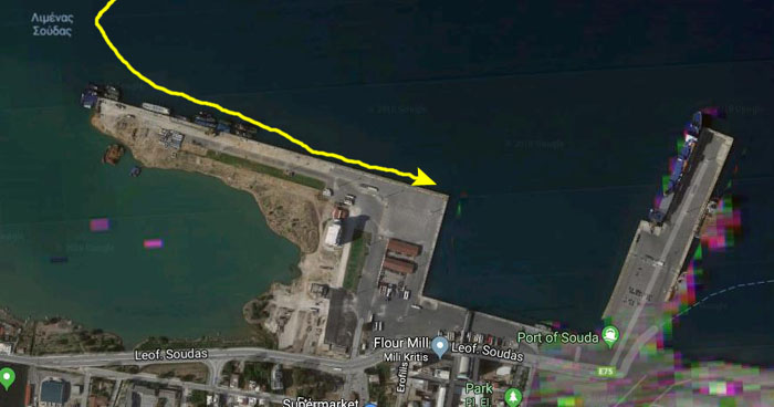
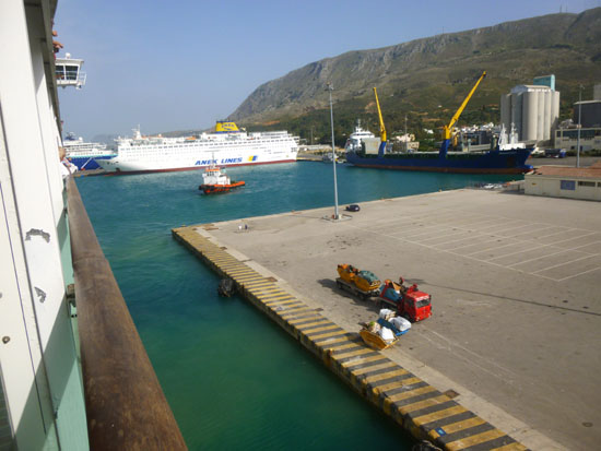
When we got up this morning, we were nosing into the port here at Souda to make our scheduled arrival at about 7AM.
|
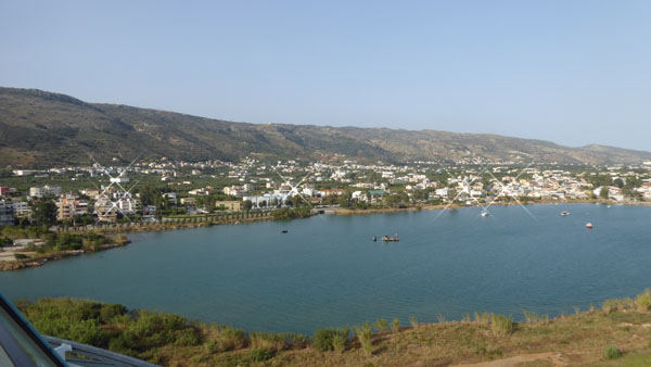
The physical location and orientation of Souda, combined with the size and adequate depth of the harbor, makes it a safe harbor during the whole year. Its location in the center of the eastern Mediterranean on the ancient sea routes gives it special strategic importance; it has been of interest to nations and mariners from antiquity until today.
Souda Bay is also a strategically important anchor of NATO in the Mediterranean; both the Greek and American navies use it as a station for their ships in the eastern Mediterranean. The port occupies the entire southwestern part of the bay and offers a modern commercial and passenger port and the main ferry link of west Crete with Piraeus.
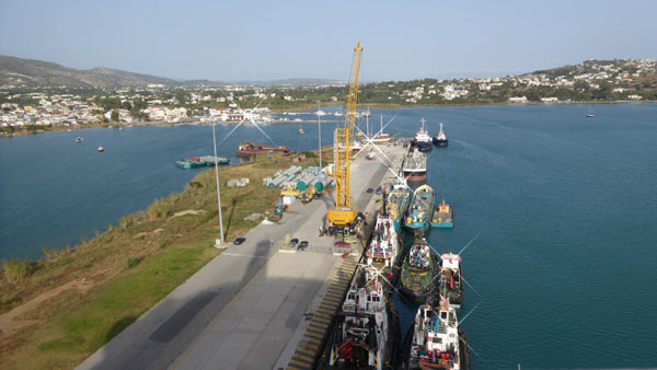
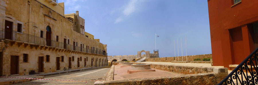
The Mariner of the Seas actually came into the harbor from the west and made a slow turn to come into the dock pointing again to the west. You'll want to refer again to the aerial view of our dock at the end of today, when something of a drama was played out on it.
|
In the pictures that we took of the port, you will see that the ship has just been cleared for the shore excursions to depart; that was done fairly early- about 745AM. People who are going ashore independently are usually asked to wait until the crowds of folks on the scheduled excursions have had a chance to get off the ship, so we, ourselves, didn't bother trying to get off the ship until about 930AM.
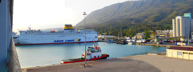
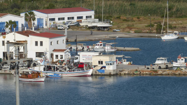
At the entrance of the harbor the huge silos of a flour milling company dominates the port; it has been in operation since 1928. It is one of the most important mills in Greece, with a daily milling capacity of 450 tons of wheat and animal feed production capacity of 500 tons per day. You may wonder where the grain comes from; a good deal of it comes from elsewhere on the island, but there is also a great deal brought in from other countries around this end of the Mediterranean.
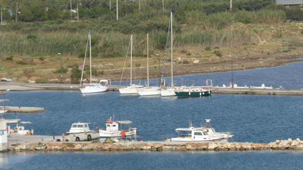
Souda is a large ferry port; most of them come from and go to Piraeus (Athens) on the mainland of Greece. There are both overnight and day ferries operating, and a couple of them were docked a bit east of us. It is unknown when the first reference to the town of Souda appeared, although it was probably just before the conquest of Crete by the Arabs in 823.
|
Cretans gained autonomy in 1898, and eight years later declared their union with Greece- an act not formally and internationally recognized until the outbreak of World War I, by which time the island had become a center of interest of the �Great Powers�. Subsequently, Souda played a significant role in the First and the Second World Wars- when it was used as a port and refueling point for the English fleet.
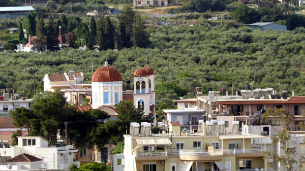
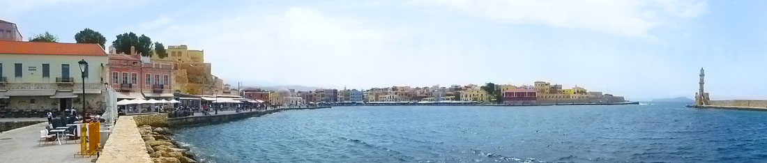
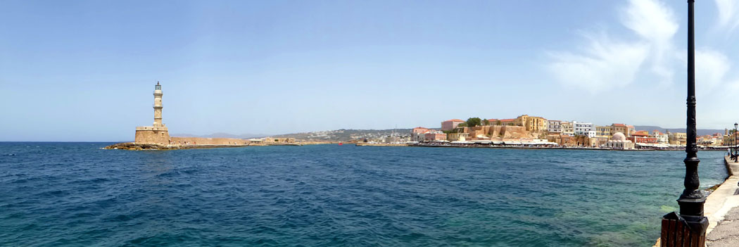
We took a good many pictures from our balcony, and after we got a bit of breakfast we went up on the stern to get some pictures of the town of Souda itself. This panoramic view looks west, towards Chania:
|
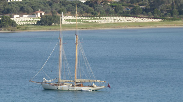
The site for the Souda Bay War Cemetery was chosen after the 2nd World War and graves were moved there by 21st and 22nd Australian War Graves Units from the four burial grounds that had been established by the German occupying forces at Chania, Iraklion, Rethymnon and Galata, and from isolated sites and civilian cemeteries. There are now 1,500 Commonwealth servicemen of the Second World War buried or commemorated in the cemetery.
|
|
So I've culled through them all and have put the best of the pictures into a slideshow to make it easier for you to go through them. That slideshow is at left.
As usual, you can use the little arrows in the lower corners of each image to go through the show, and you can see where you are by referring to the index numbers in the upper left corner of each picture.
Enjoy looking around the Port of Souda!
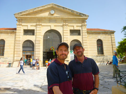
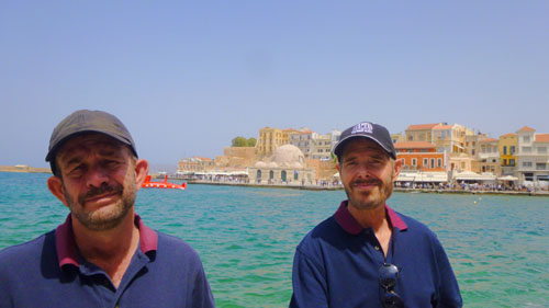
We headed back to the cabin to get our stuff in order to meet everyone else at the debarkation gangway at 945. Actually, there would just be five of us going into Chania. Richard and Zoran wanted to do their own thing, and Steven wasn't feeling well, he said. I should point out that about ten days ago, Greg came down with some sort of cough, and a few days later Fred did too. Both of them are pretty much over it, but Steven, who caught whatever it was about the same time as Fred did, is still trying to shake it. Just before we left the cabin, I took one more picture from our balcony:
|
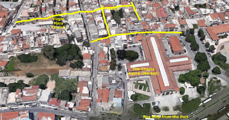
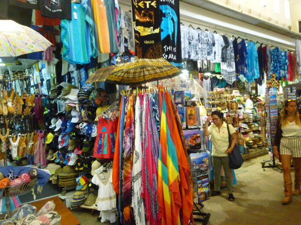
The Old Chania Market
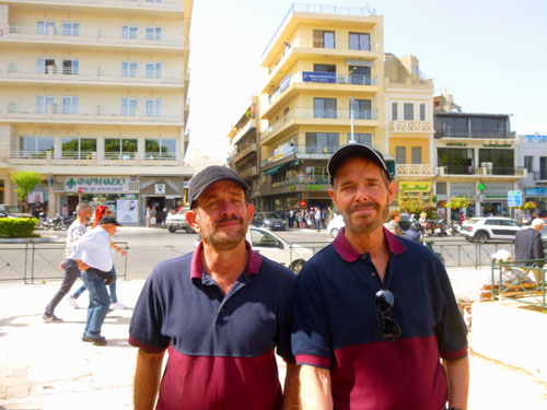
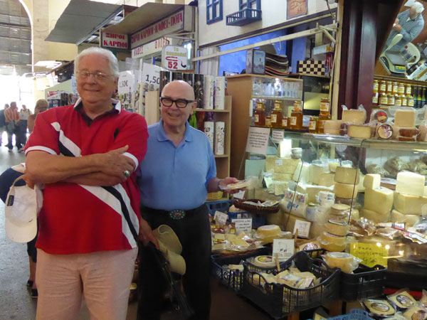
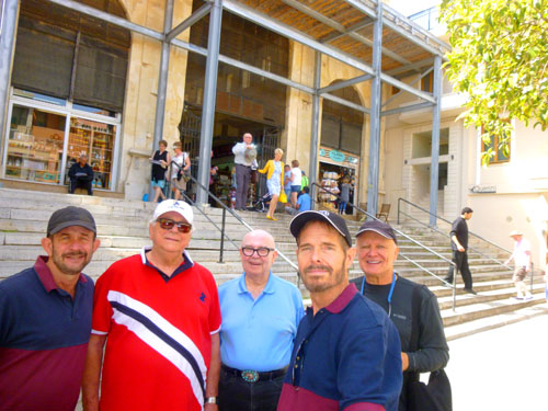
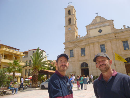
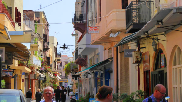
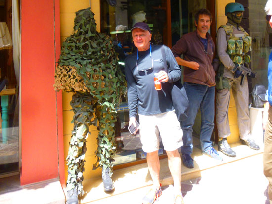
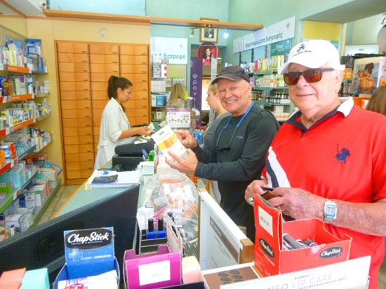
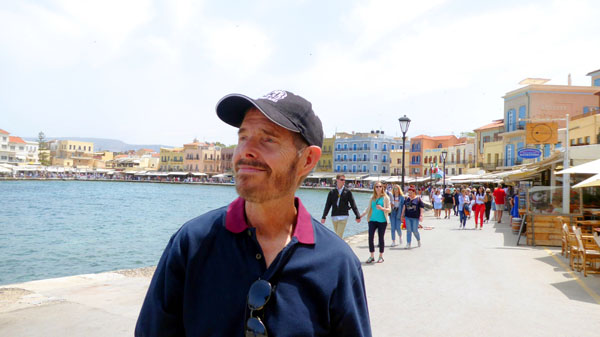
Fred and I hooked up with Greg, John, and John just off the gangway, and we began to make our way out of the port and into the town of Chania.
|
I don't know if the local buses run all the time to the port, or just when the cruise ships are here, because the bus we got seemed to go only from the cruise ship port directly into town; it didn't seem to stop at the ferry port (or maybe it only goes the extra distance at the times the ferries arrive or leave. My guess is that on days when there are no cruise ships here, the bus doesn't stop at this part of the port at all- as there wouldn't be any reason to.
In any event, the ride into town was basically a straight shot along a few major streets, and if I recall correctly, the trip only took about ten or fifteen minutes. At the bus kiosk, we learned that the bus would run about every twenty minutes, and even more frequently later in the afternoon when so many people would be returning to the ship.
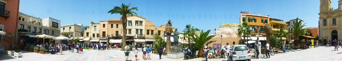
The bus stopped at what appeared to be a central square (although we found out later that the bus drops its passengers at one point and then goes another block to a different stop to pick up passengers for the return trip.
|
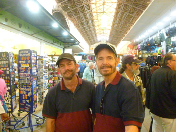
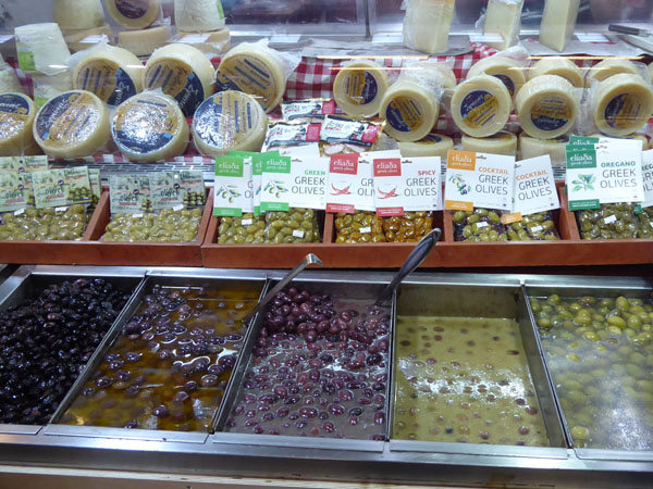
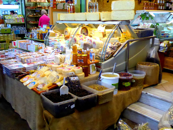
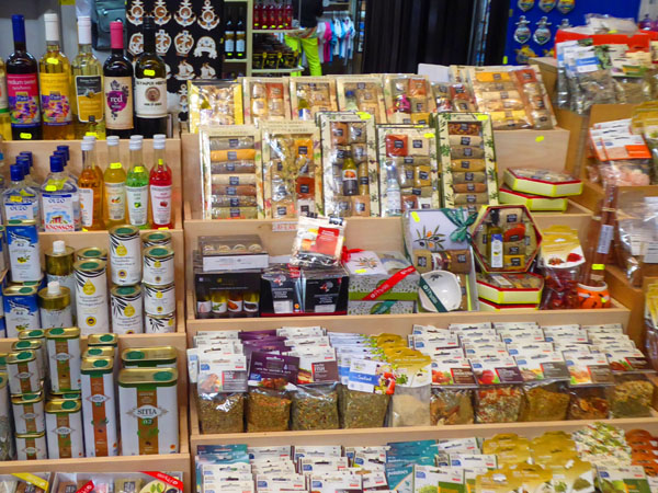
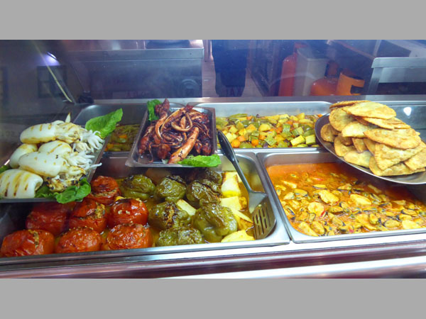
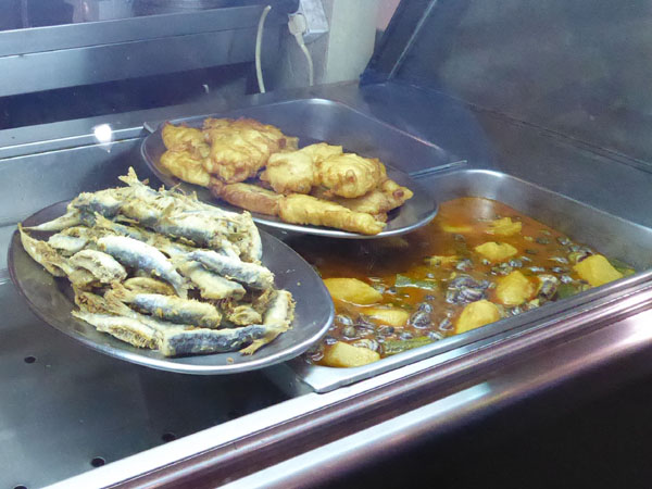
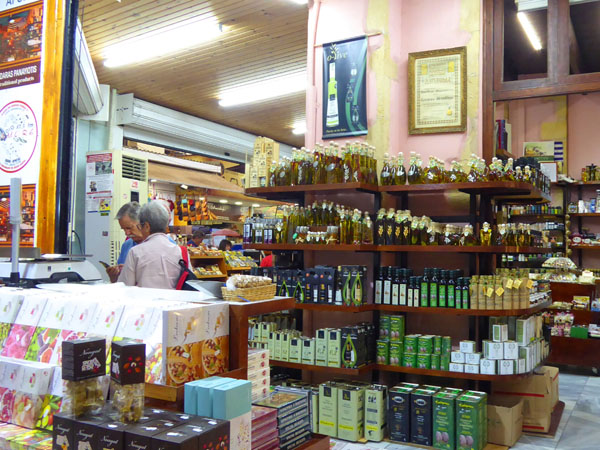
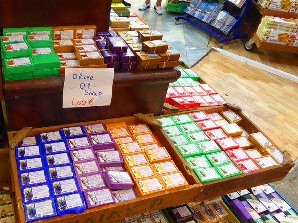
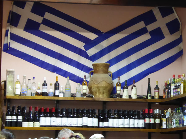
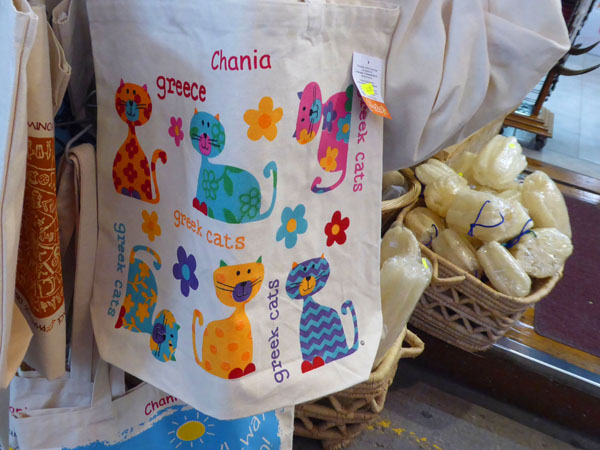
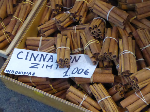
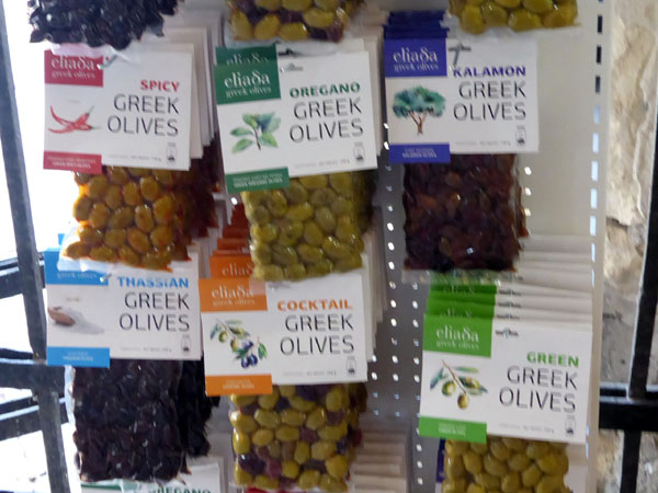
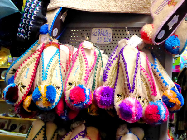
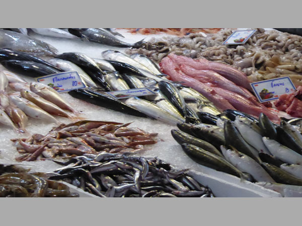
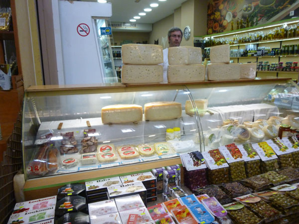
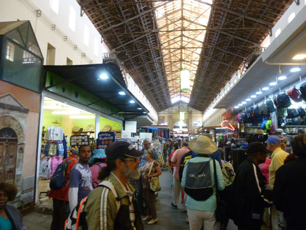
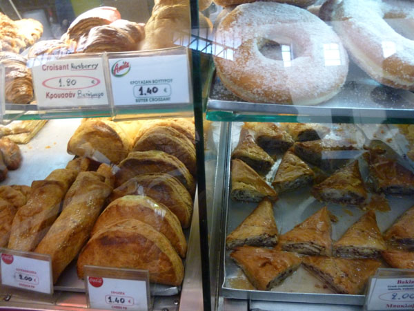
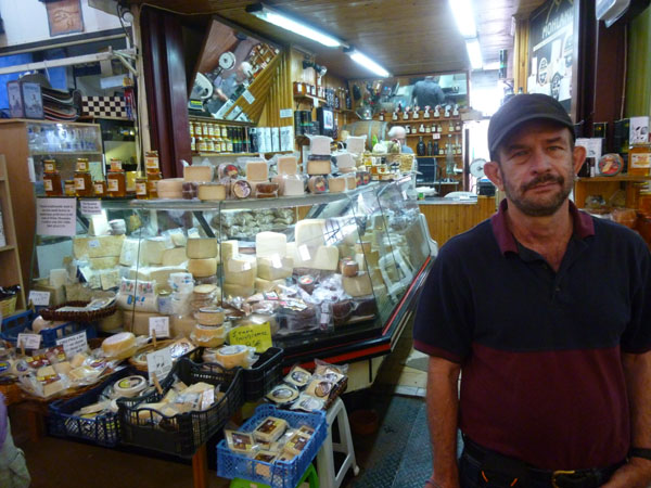
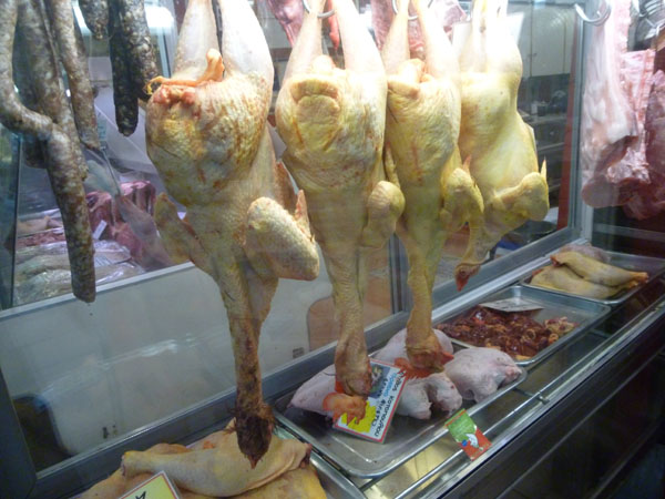
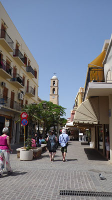
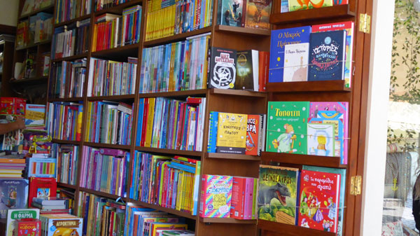
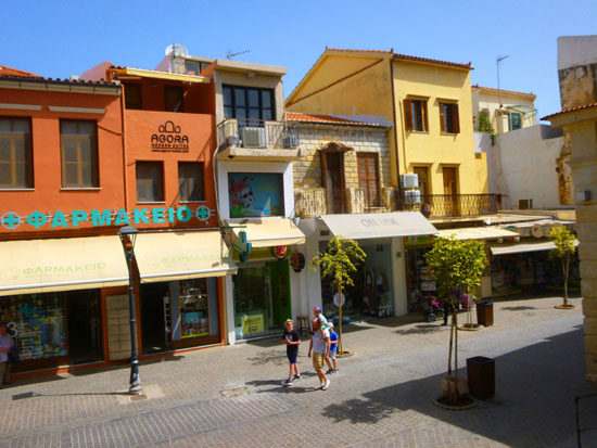
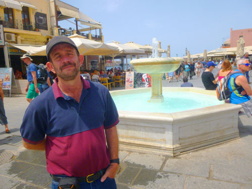
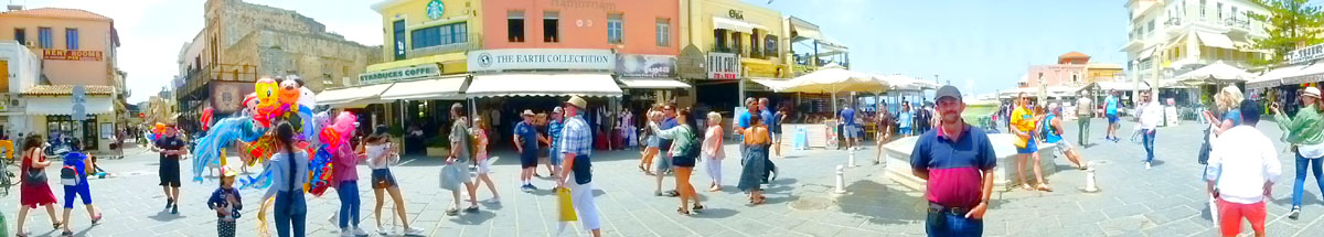
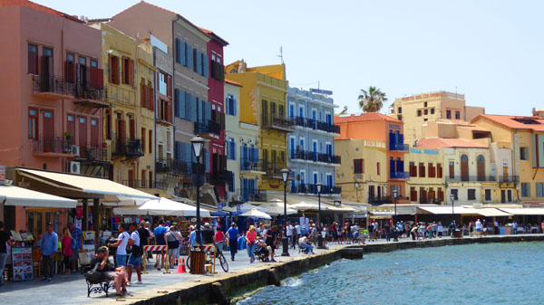
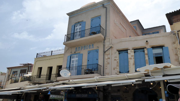
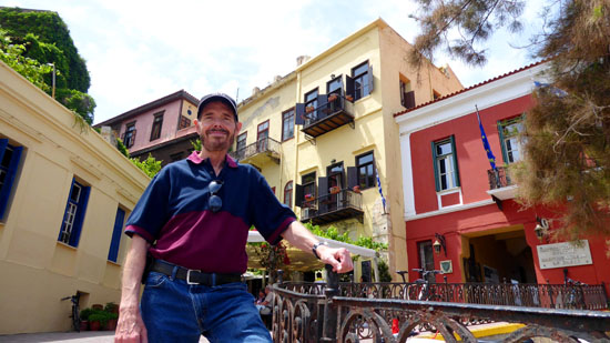
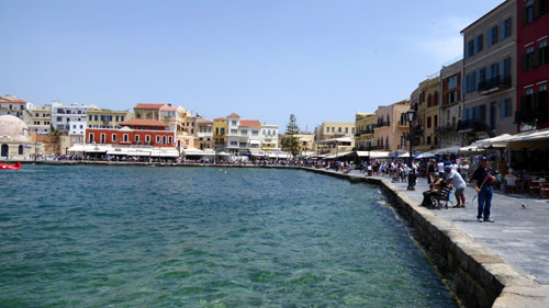
We actually made two major stops on our morning walk. The first, of course, was the Municipal Market of Chania- a relatively new, covered building on the site of the city's original "agora" or open public space. Indeed, the market us locally referred to as the "agora."
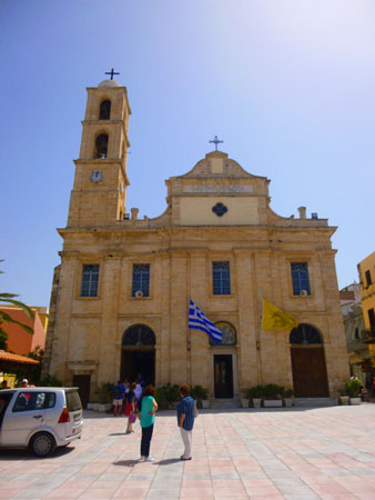
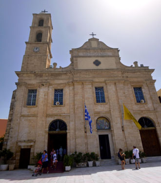
The other stop was at the Presentation of the Virgin Mary Holy Metropolitan Orthodox Church (a long name for a relatively small church). This church was located on a small public square about three blocks northwest of the agora.
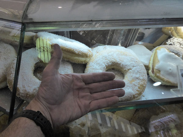
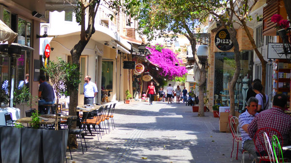
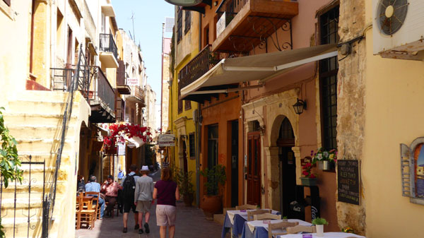
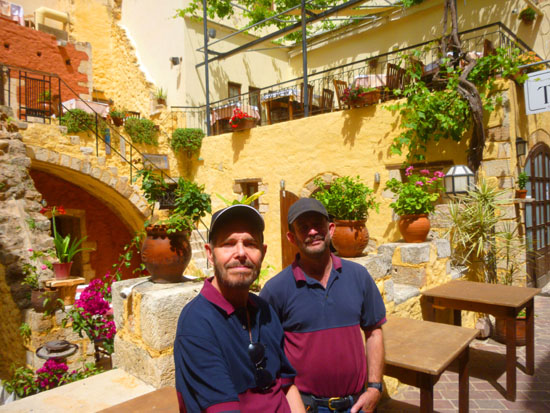
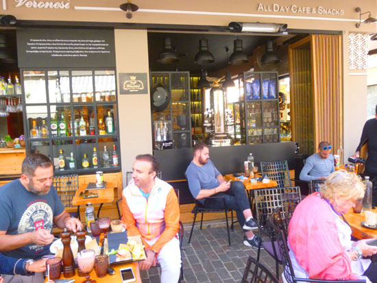
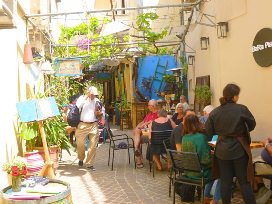
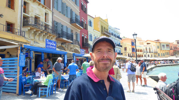
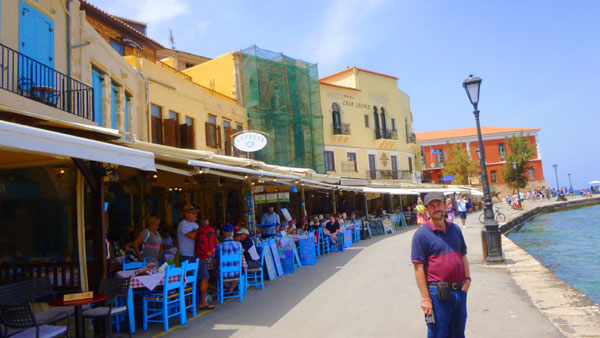
Between these stops, we just walked the streets of Chania- mostly in the eight square blocks (and almost none of the block in Chania are actually square) northwest of the agora. A bit after noontime, we stopped at a small street cafe for some lunch.
So, the first stop after we got off the local bus from the port into town was the open area in front of the agora, where we had a chance to look around for a while before we went inside the market itself.
|
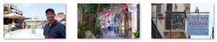
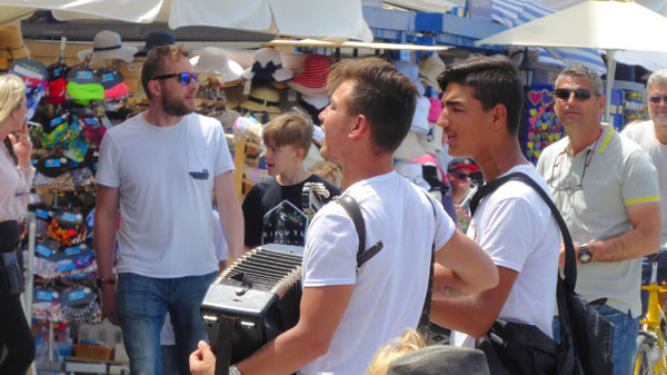
There seemed to be a crowd of folks trying to get into the agora right when we arrived, so we all took a few minutes just to wander around the area in front of it, and Fred found a number of interesting things to photograph. Here are some of his better pictures:
|
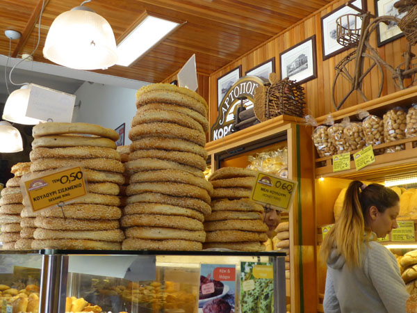
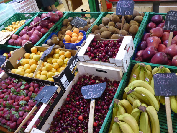
A few minutes later, when the crowds died down, we walked over to the gated entrance to the Covered Market of Chania to go inside and have a look around. I could tell you a bit about the agora in my own words, but we ran across a historical sign out front of it, so I think I'll let you read it for yourself. It's in the scrollable window below, left.
|
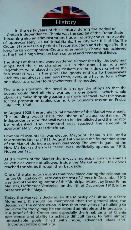 |
The agora, Chania's marketplace, didn't start out as a covered market- nor were all the shops located in the same place. This improvement came when the work began on this new, covered market in 1911. As you can see in Fred's picture, the high roof of the market is designed to let in light- characteristics we noticed in similar markets in, say, Barcelona, but which we did not notice in the souks of Turkey and Israel. So we had an enjoyable time walking through the market, and never felt claustrophobic.
|
|
|
(Mouseover Image Above for Video Controls) |
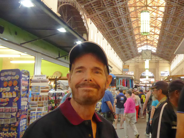
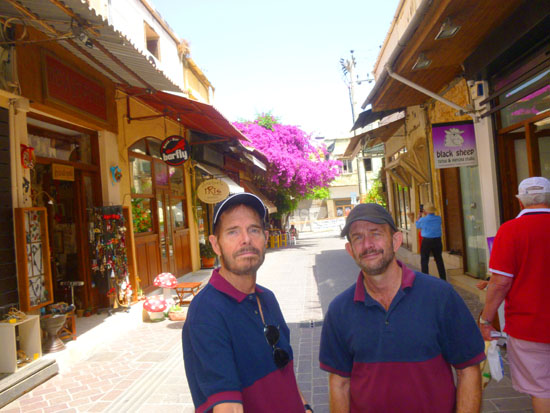
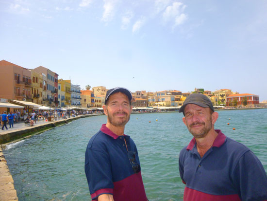
Walking through the agora was pretty interesting; we each bought something small either to use or to take home, and we eventually left the market by the doors on the north side of the agora, descending the steps to the shopping street north of it. That's where I got out my selfie stick and made a couple of tries at a good group picture.
|
|
(Mouseover Image Above for Video Controls) |
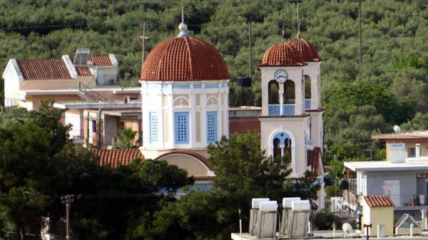
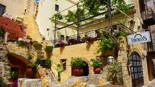
Between our walk through the agora and our late lunch, we did a lot of strolling through the streets of the Chania Old Town. Before we have a look at those pictures, let's have a look at the second major stop that we made- the Orthodox Cathedral of Chania- a few blocks northwest of the agora.
The Orthodox Church of the Virgin Mary
You can refer back to the aerial view of the area covered by our walk up to and including lunch to see just where the Cathedral of the Presentation of the Virgin Mary was located (which was at one end of a pleasant little square northwest of the market.
|
|
The construction of the present church the present church was complete in 1860, resulting in the building that we see today: a three-aisled basilica with an elevated middle aisle and numerous architectural elements of Venetian influence, such as carved square columns, cornices, etc. Then, the icon of the Presentation of the Virgin Mary, which had been taken away by the last worker of the soap factory, was restored to the church.
The history of the Panagia Trimartiri Church has played a frequent and important role in the life of the city of Chania. It was frequently used as a place of refuge and it suffered much damage during the Cretan revolt of 1897. Its renovation was undertaken by the Czar of Russia, and the bell tower was also built thanks to his donation. Trimartiri also suffered a lot of damage during the bombing of Chania in May 1941.
|
The square is now lined by cafes on its south side and features several statues of prominenant figures in Crete�s history including Anaghnostis Mantakas, the nineteenth century libertation fighter, and Ecumenical Pariarch Athinagoras I, the Patriarch of Constantinople from 1948 to 1972, after whom the square is named.
Fred took an interesting closeup picture of the Patriarch's statue, and you can have a look at it here. For my part, I found some interesting things around the plaza to photograph, including an old structure on an opposite corner that sported six traditional domes on its roof (similar in decoration to those on Santorini).
|
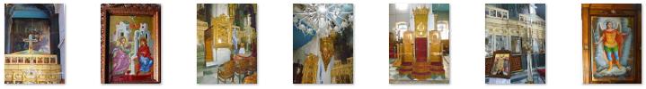
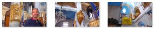
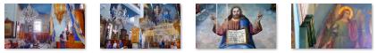
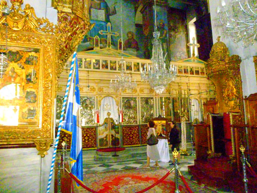
While the facade of the church was fairly plain (save for a pretty piece of art over the center door), the inside was another story altogether. There were more statues, paintings, and general decoration than I have seen in a church in quite some time.
 |
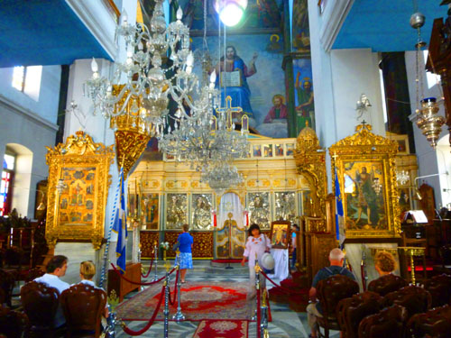 |
Here are some of the many pictures we took of the decorative elements inside the church:
|
The Church of the Presentation of Mary is a basilica with a raised middle aisle covered by a pointed arch. The architectural characteristics have many references to the Venetian style. The east side of the temple (where the altar is) has many drawings of saints, made by famous Greek artists.
|
(Mouseover Image Above for Video Controls) |
Here are more interior views of this lovely church:
|
We left the church to do some more walking around the area nearby, and I went and stood on the south side of the plaza to try an almost 360° view looking around. About all I didn't get was one of the cafes behind me:
Walking Around Chania and Lunch
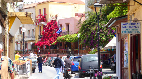
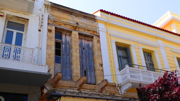
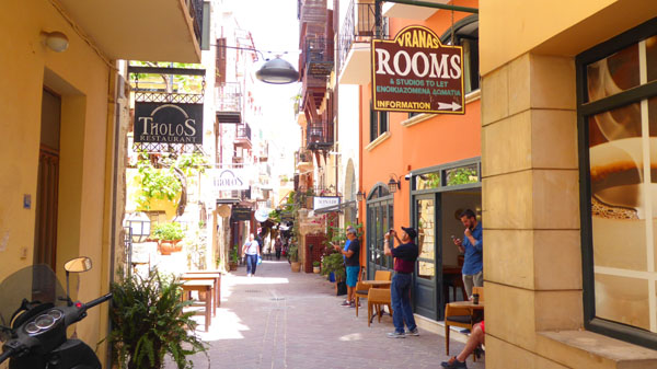
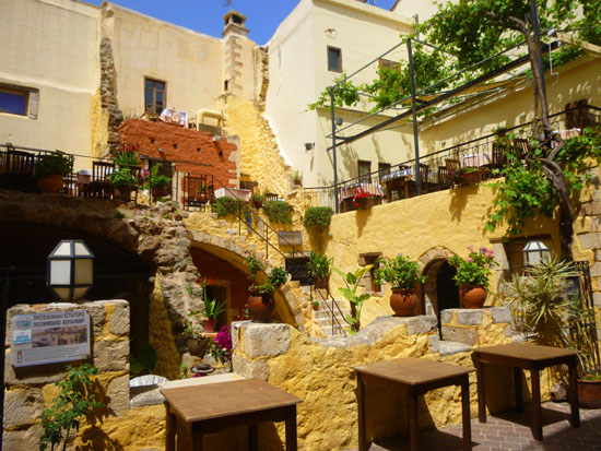
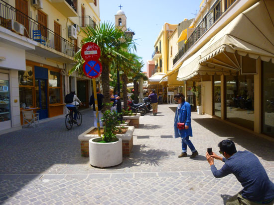
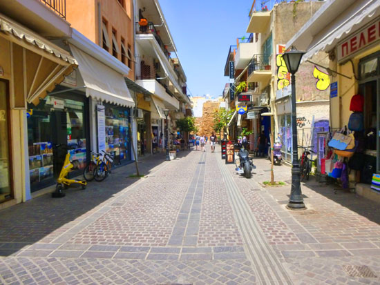
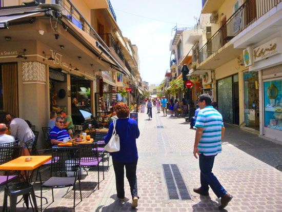
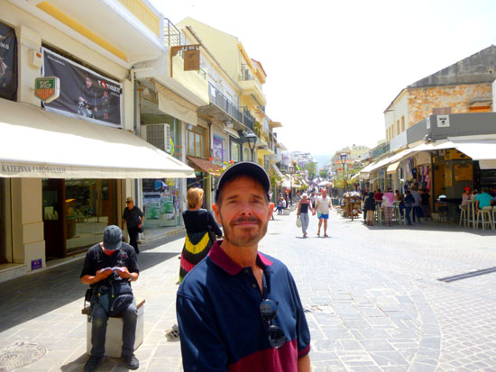
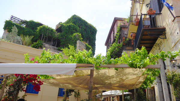
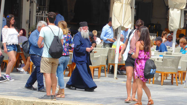
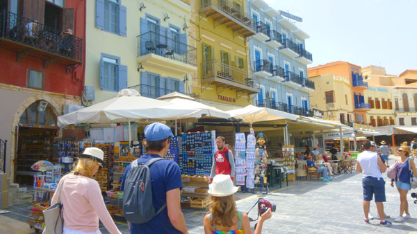
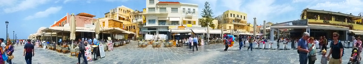
Other than the Old Chania Market and the Panagia Trimartiri, we spent the rest of our time before our lunch to just walk up and down the many streets here in the section of Chania north and northwest of the agora. This isn't the oldest section of the city; we could easily see that many buildings were either new or had been significantly renovated. The pictures we took were all just candid shots- street scenes, interesting buildings, each other- so I just want to put the best of them in this section.
|
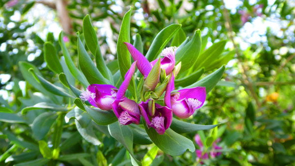
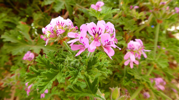
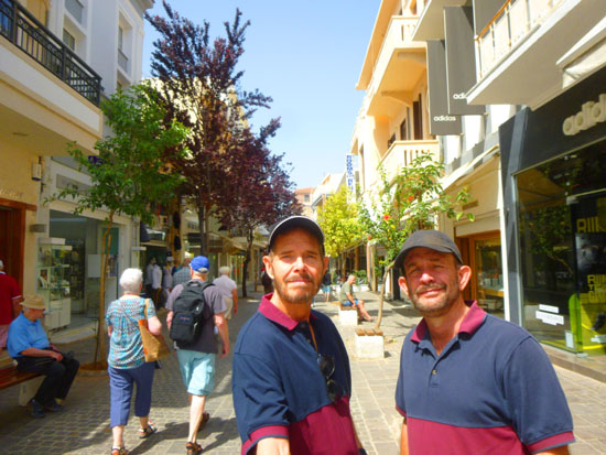
It was springtime here on Crete, so as you've seen most everything was in bloom, and the flowers and plants offered nice backdrops for a group picture and a nice picture of Fred and John Lambert. Also, as we were walking around, we were thinking that Prudence would like it here, for we passed an art gallery and a wine bar.
|
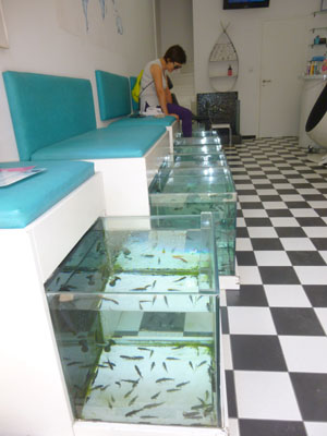
| "After a young woman's toenails started to separate from her toes, a doctor finally zeroed in on the reason: a fish pedicure, according to a report published Tuesday in the journal JAMA Dermatology. Six months prior, the woman had dunked her feet in a tub of water filled with tiny fish called Garra rufa that will eat dead human skin when no plankton are around. It wasn't until later on that she noticed her nails beginning to shed." |
Fortunately, or unfortunately, depending on your point of view, this won't be a problem here in Texas, at least according to this Channel 5 news report from 2009:
| "If you've been dying to have fish nibble on your dead skin sells during that monthly pedicure, you're out of luck. The Texas Department of Licensing and Regulation says the procedure is not permitted under health and safety rules. The pampering process has become popular and involves a customer placing his or her feet in a footbath filled with "doctor fish" which are then supposed to nibble away callouses and dead skin. But Texas says no way, because the fish are used on multiple customers and could "transmit infectious diseases." And the footbaths or tanks which hold the fish can't be adequately cleaned and disinfected according to state rules." |
Of course, the sign outside the salon took a much different tone.
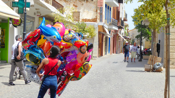
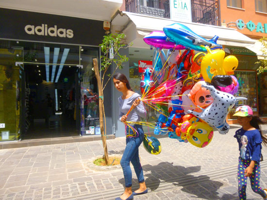
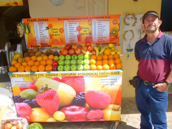
I have some additional pictures from our walkaround, which continued (for Fred and I) for a while after our lunch, that I want to include here. Again, these are random interesting shots of daily life here in Chania.
|
|
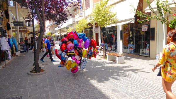
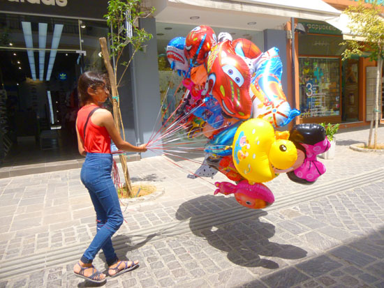
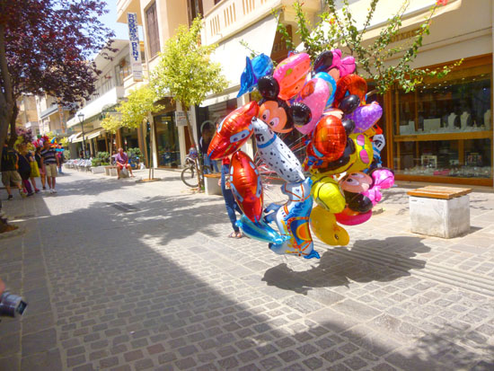
You'll find a few pictures of the two balloon girls that we passed; I am a sucker for all things colorful, and thought that it was kind of funny when a breeze would blow and threaten to pull the large balloon groups away from their herders. You'll also see a couple of pictures of a particularly pretty restaurant that both Fred and I thought would be a nice place to eat (although it didn't look as if it were open for lunch).
Anyway, you can go from picture to picture by clicking on the little arrows in the lower corners of each image, and you can track your progress through the group by referring to the index numbers in the upper left.
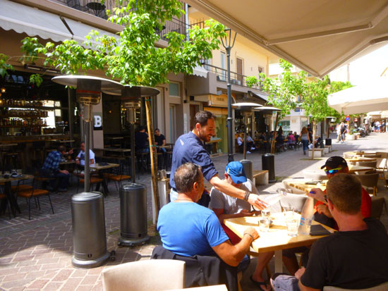
As I mentioned before, our walking around Chania in our original group of five was interrupted by lunch at a sidewalk cafe right near the Church of the Assumption of Mary.
|
(Mouseover Image Above for Video Controls) |
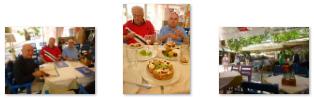
At right is a movie that I made while we were having lunch, and you can have a look around the area and at our own little cafe. And below are a few pictures that I took during our lunch:
|
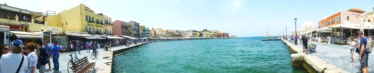
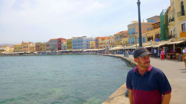
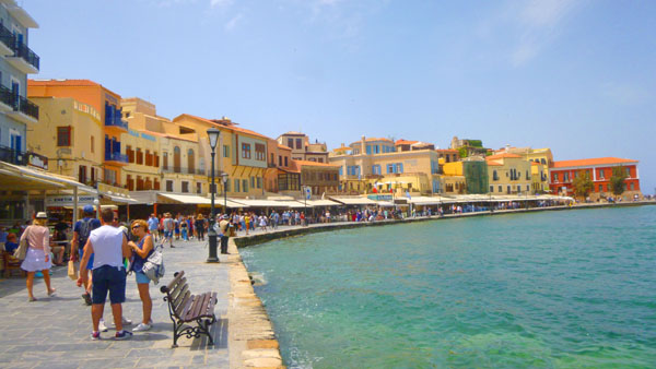
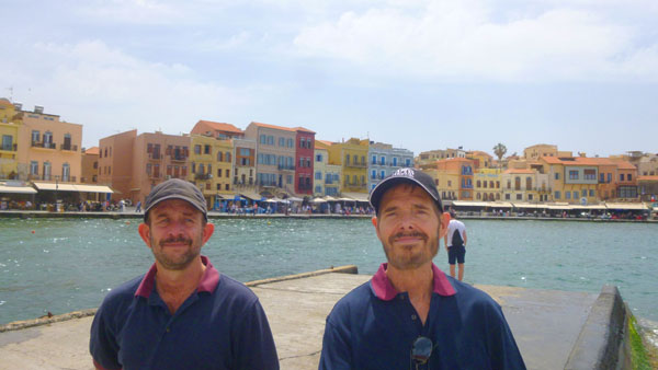
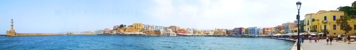
After lunch we walked around a bit more until Greg, John, and John decided to return to the ship. Fred and I thought that since we had another couple of hours we could spend here, we'd do some more looking around. We are glad we did, or we would have missed Chania's charming Venetian Harbor and the sights around it.
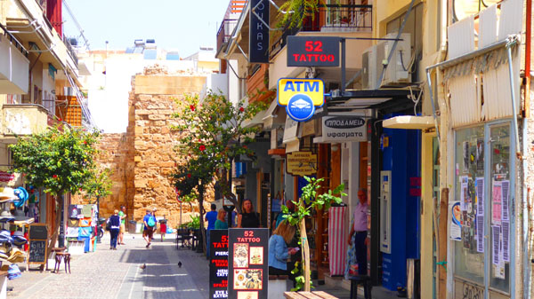
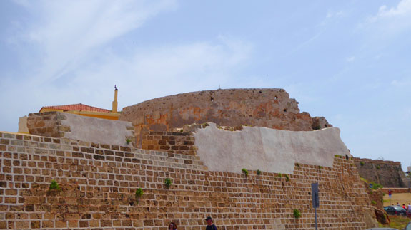
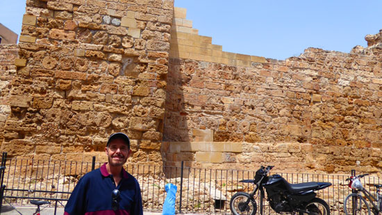
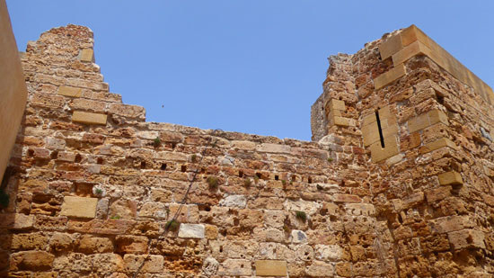
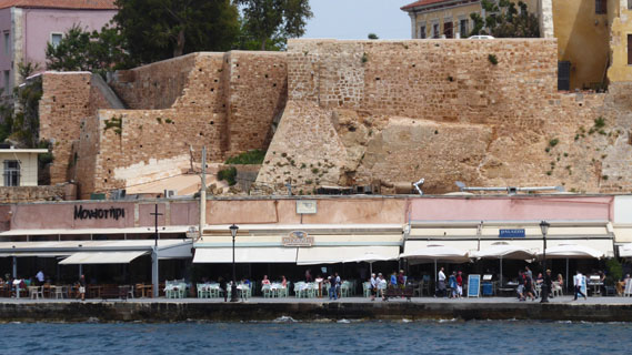
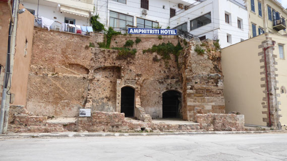
On the way over to the Harbor (which we actually found accidentally, not knowing in advance that it was here), we passed what looked like an archaeological dig; it was the Byzantine Walls of Chania.
|
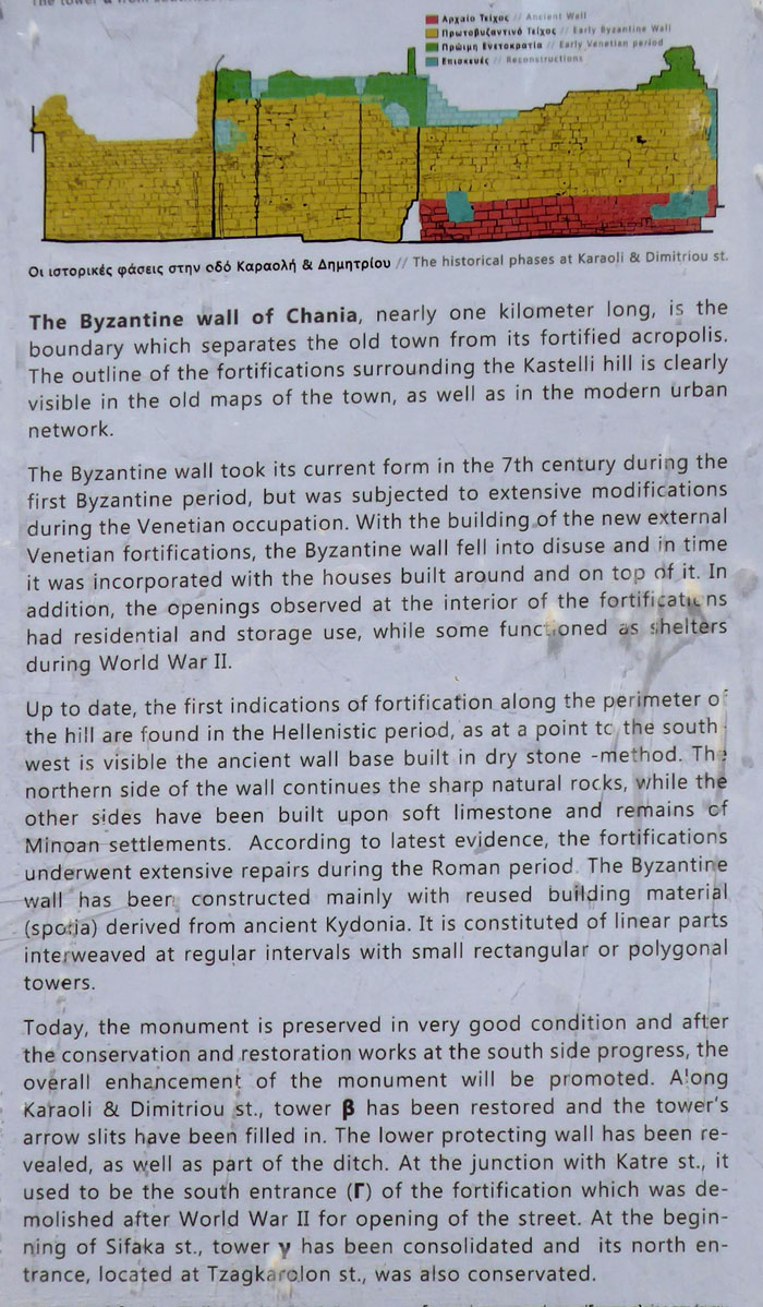 |
These ruins were interesting, and here are two more pictures of them:
 |
 |
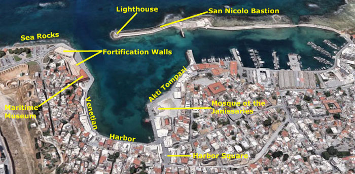
The Venetian Harbor
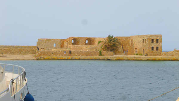
We were fortunate that we decided to stay in Chania and walk around some more. If we hadn't, we would have missed seeing the beautiful Venetian harbor- actually built by the Venetians between 1320 and 1356. The harbor was used for commerce and also to control the Sea of Crete against pirates. The Venetian harbor had room for 40 galleys, but it constantly silted up and was never very deep, so it kept having to be dredged, a difficult job with the equipment of the time.
|
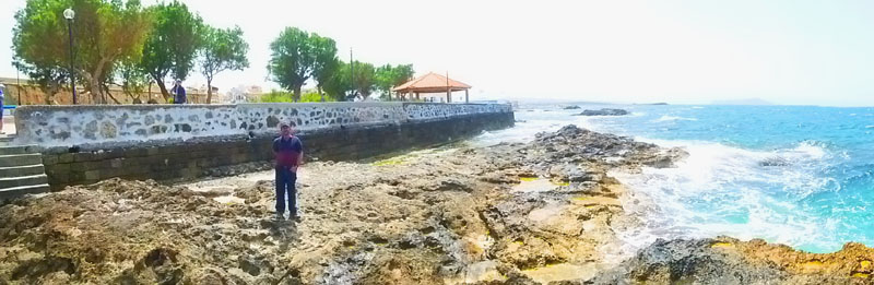
Standing at the Byzantine Walls, we could see less than a block away that there was a very busy area, and so we walked down to take a look. This put us at Harbor Square- the main access to the harbor area for pedestrians exploring the old part of Chania. Walking through that square put us right on the south side of the harbor, and we saw we could walk in both directions around it.
We began by walking around to our left, along an area of the harborfront that was full of restaurants and shops and residences. Continuing around brought us by the Maritime Museum and some of the old fortification walls left from the time the harbor was first built. We continued around to a very pretty area where you could walk out onto the rocks and get excellent pictures.
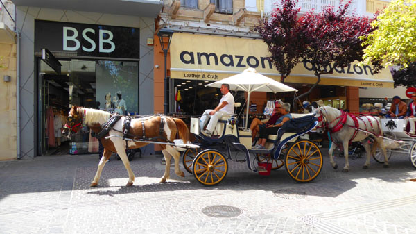
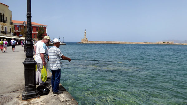
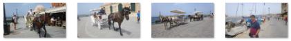
Returning to our starting point, we then walked around the east side of the harbor, past the Mosque of the Janissaries and along a street named Akti Tompazi- more of a promenade full of pedestrians and horse-drawn carriages. There were restaurants here as well. We would have liked to walk out to the lighthouse, but to get there would have involved quite a hike around the east side of the harbor and then back west to the lighthouse. This would have taken more time than we had, so we contented ourselves with numerous pictures of the lighthouse, which can, of course, be seen from anywhere in the harbor area. Our walk to the east actually stopped at the first short pier that jutted north; it protected the marina itself.
We took so many pictures that even after eliminating the duplicates and spoils, there are still lots of them, so let me break this section into smaller ones keyed to the items marked on the aerial view.
Harbor Square
|
All around the square were cafes and restaurants, and a number of rooming houses that seemed to cater to transient summertime guests. Here are a few of the pictures we took around the square:
|
On its north side the harbor is protected by a breakwater, which we could see as soon as we came around past the rountain. Near the middle of this is a small bulwark like a gun emplacement and the tiny chapel of St Nicholas. This was where the Venetians and Turks executed condemned prisoners.
Before we walked over to the harbor itself, I asked Fred to stop so I could put together a panoramic view of Harbor Square (and, yes, that's the same balloon girl you saw earlier in the pictures from our walk):
|
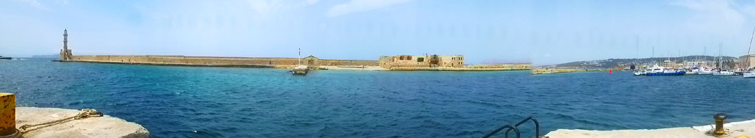
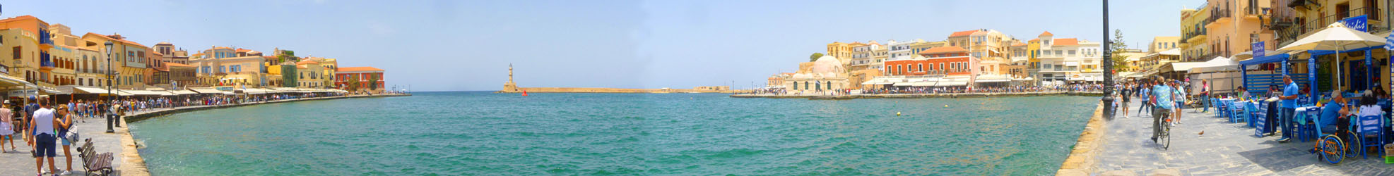
Walking past the fountain we came to the edge of the harbor, and got our first good view of most of its features. We saw we could go left or right, so we took the former route first- but not before I took my first panoramic view of the Venetian harbor:
|
Walking West Along the Venetian Harbor Front
|
|
(Mouseover Image Above for Video Controls) |
As soon as we started walking along, there were numerous opportunities for photographs. (I guess it would be fairly obvious that a lot of them would be repetitive.) Not only did we take pictures of this section of the harbor, but we also snapped numerous photos of the lighthouse, the breakwater, and the other side of the harbor, but those pictures I'll put in their own sections.
|
The Maritime Museum and Fortification Walls
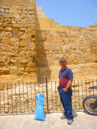
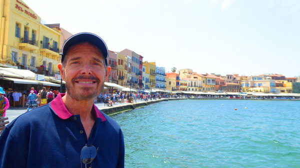
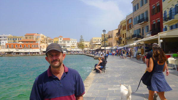
 Me at the Maritime Museum (right) |
 Outside the Maritime Museum |
The fortress follows the plan of a typical Roman fort and garrison plans- two levels of rooms encircling a central courtyard or parade area that were used for both the living quarters and for storage. The museum itself has a number of noteworthy exhibits on display including maquettes of Venetian Chania, old maps, marine instruments, photos of warships alongside an exhibition on the history of Greek shipping and importantly, the Battle of Crete.
|
Union with Greece marked the end of successive invasions and occupations of Crete over many centuries by foreign powers and the beginning of a period of peace and development. Throughout the 1800s, locals resisted an increasingly corrupt and despotic Turkish rule.
At the far end of the complex you can see a number of arched openings; these were cannon positions. Cannon were one way that the Venetians prevented enemy ships from entering the harbor. As a further defense tactic, the Venetians submerged a large chain from here to the lighthouse, raising it as needed to thwart ships from entering the harbour.
|
The walls themselves were sixty feet high and set at an incline so that cannonballs could ricochet off of them. The walls were built from dressed limestone brought here by sea from Santorini, as well as from stones robbed from the last remaining Roman stadium and theater in Chania. The Venetians fended off numerous outside attacks, but in the end not even these defenses could keep the Turks from taking Chania in 1645.
|
On the Rocks
|
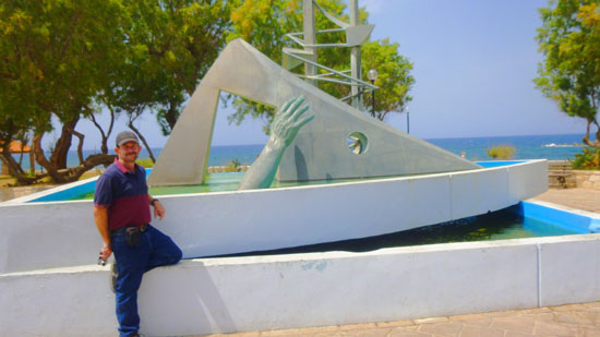
There was fountain in the middle; that's Fred at left standing beside it. There was no identifying plaque, so it took some research to that it is a piece (sculptor unknown) called "The Hand". It was installed here in 1990 and it commemorates the passenger ferryboat Heraklion that sunk in a storm midway from Souda to Piraeus in 1966.
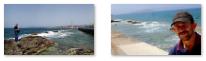
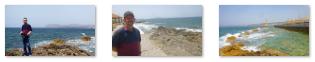
Between the little park and the sea there was a walkway and seawall, so we went over to have a look. What we found was indeed a walkway, but below the seawall there were rocks you could go out on, and, conveniently, stairs leading down to them.
|
|
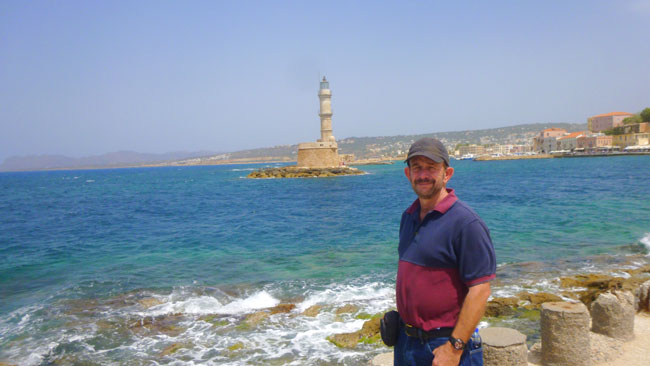
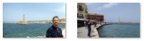
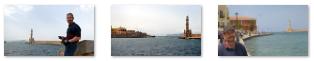
Since down here on the point we are as close to the Lighthouse as we are going to get, let's visit it next.
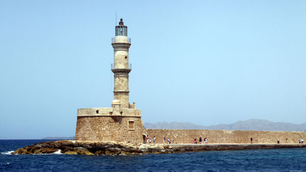
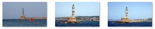
The Chania Lighthouse and The San Nicole Bastion
|
The tower is about 65 feet high and is built on a stone base, located at the end of the old harbour's pier opposite to the fortress of "Firkas". Visitors are not allowed to enter the tower, perhaps because, until recently, the tower was leaning badly as a result of the aerial bombardment of 1941 and by numerous earthquakes that are common in this part of the world.
from Different Angles (Click on Thumbnails to View) |
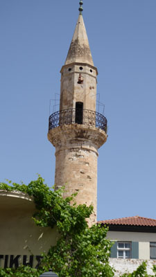
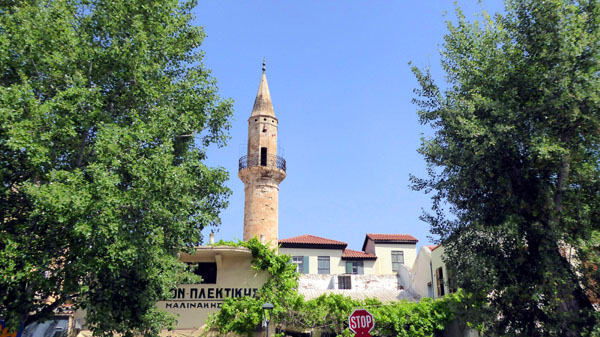
It is no co-incidence that the lighthouse bares a close resemblance to the minaret of a mosque. In the early nineteenth century, the lighthouse collapsed in a storm following years of neglect by the Turks. The structure was later re-designed and rebuilt between 1824 and 1832 by Egyptian soldiers stationed around the island during a brief period (1821-1841) when Crete was ceded by the Ottoman Turks to Mehmet Ali, the ruler of Egypt.
The lighthouse is particularly dramatic in panorama with the harbor, and some of the best views can be had from the fortress, which is where Fred put together this panorama of the lighthouse, the bastion, and the east side of the harbor:
The tower is divided in three diverse parts: the base is octagonal, the middle part has sixteen sides, and the third part is circular. The construction material of the base is of the same origin and quality of the material used for the fortification of the city of Chania by the Venetians.
|
If you haven't seen enough of the lighthouse, here are some additional views taken as we were walking around both sides of the Venetian harbor:
|
Extending westwards from the Moro Docks is the harbour wall or jetty that the Venetians initially began building between 1320 and 1356 on the existing rocks and reefs in the sea to provide protection for the harbour from the strong north winds and from approaching enemy ships.
|
This small bastion or tower was named after the aisleless, barrel-vaulted church of the same name that is still apparently preserved beneath the earth despots. In 1645, the Turks used the bastion as a repository for cannons and cannon balls, as well as a place of execution or gallows.
In 1945, the building was converted into a shipyard for traditional wooden boats, but in the 1980s it was repurposed as a restaurant. I can only imagine the dining room views were pretty good, but getting out there was a hike. The restaurant is no longer open.
The lighthouse, the harbor wall, and the bastion are of a piece, and the best way to look at them is as a continuous structure- as shown this panoramic view:
|
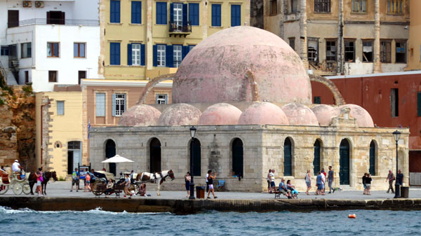
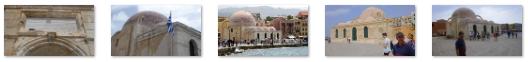
The Mosque of the Janissaries (Yali-Tzamisi Mosque)
|
I also wanted to do a 360° view of Venetian Harbor, but I couldn't get my little camera to take that many pictures. So I settled for a composite of seven individual pictures. This view is so large, that it is best viewed in a scrollable window:
 |
And, finally, a couple of normal views, the second of them in which Fred and I are framing the mosque we are about to visit:
 Looking Towards Harbor Square |
 Looking East Across the Harbor |
So we came back to our starting point at Harbor Square, and before we headed over to the mosque and the east side of the harbor, I stopped to make almost a full 360° picture of Harbor Square:
Then we headed up the east side of the harbor towards the domed mosque and whatever lay beyond it.
|
The Mosque of the Janissaries, also called Kucuk Hassan or Yali Mosque, is the oldest Islamic structure in Crete. The Janissaries were the Turkish soldiers stationed in Chania and elsewhere around the island assigned to keep law and order following the Turkish conquest of Crete. Rather than being merely soldiers or policemen, they were the Christian sons captured from conquered countries between the fourteenth and early nineteenth centuries often described as "door servants" or "slaves".
This mosque was built in 1645 on the site of a small Venetian church dedicated to San Nicolo; the purpose was simply so that the Janissaries had a place to pray. The central dome is part of the original construction and the porticoes, as well as four of the smaller domes, are of nineteenth century typical Neoclassical design.
The flying buttresses are later additions. For centuries, a fine minaret stood in the southwest corner of the mosque, but it was dismantled in the 1930s. It stood alongside an enclosed courtyard containing palm trees and the graves of prominent Turkish officials, both of which were destroyed by the German bombing in 1941. There also used to be a small fountain at one corner of the structure, but the fountain was removed after World War II, and only a faucet remains.
|
The building has not functioned as a mosque since 1923 and this site has, at various times, been used as a cafe, museum, a tourist information office and more recently, as an exhibition space. When we came by this afternoon, it seemed to once again be a tourist office.
Walking Along Akti Tompazi
 These are some of the old city walls, and you can see the new buildings have been constructed right up against them. |
 These are more of those walls, although when I first glanced at them, my first thought was that the hotel was incredibly in need of a facelift. |
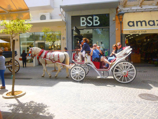
We passed a number of the carriages; this is apparently a waiting area for them. We got as far as the marina, but realized that we wouldn't have time to get around to the lighthouse and back, so that was the end point of our walk. Here are some of the carriages and Fred at the marina:
|
And finally, from the end point of our walk, one last panoramic view of the Venetian Harbor:
|
We returned to the Old City through Harbor Square, and then continued walking up the street in the direction of the public bus stop. We found it with no problem, and about fifteen minutes later were on a bus and on our way back to the ship. Chania was a really neat town, and I could easily imagine staying here for a time and seeing more of the island of Crete.
Leaving Chania on the Mariner of the Seas
The bus ride back to the port was again only fifteen minutes or so, and we did take a fair number of pictures out the windows. But really, none of them showed anything particularly "Cretan" and worth including here. Fred did get one decent view of the Mariner of the Seas as we approached the port. (Lots of stuff in the way, so hard to get a good clear picture.) When we got to the dock itself, I couldn't get back far enough to get the whole ship in a single picture, and my attempt at a camera-created panoramic shot ended up looking distorted.
After we were back on board the ship, we had time to relax in the room for a while before the ship's horn blew for our departure, so we went out onto the balcony to watch the departure process. Up on deck, Fred got two good pictures of the two ships docked near us from this morning- one a short-distance cruise ship and the other a ferry to the mainland. Fred also got an interesting closeup of the two boats.
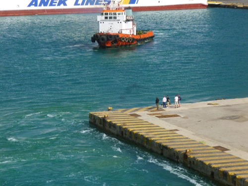
A Drama Plays Out on the Dock
|
Getting away from the dock here meant first moving sideways away from it, and as you can see in the picture at left, we are about 25 feet away from it when the picture was taken. But the drama began a minute earlier, when we were only about ten feet from the dock. At that point, I noticed a small black car enter the dock, and at first I thought it was some port official or something, even though the car was really moving.
It came to a stop in the middle of the dock, and two guys jumped out; they certainly were not officials, from the way they ran to the edge of the dock and looked up at the ship. You can see them in the picture at left, as they are kind of walking along with the ship as it begins to move forward. They are the two spots near the corner of the dock; if you click on them, I'll show you a larger picture of them. I may have been in a port before where somebody literally "missed the boat", but this was the first time, certainly, that I was not only aware of it, but had a chance to capture it on film!
Who knows what delayed these two guys; I never did find out (even though our friend Susan is plugged into all the shipboard gossip). But they'd missed the departure by less than five minutes (although the gangway had been withdrawn for the last quarter hour). As we continued to pull away, Fred and I were remembering what Greg had said- if you every miss the boat, it's your responsibility to get to the next port of call, as the ship has no obligation to come back for you. And the next port of call wax the last one- in Barcelona- so the cruise was, essentially, over for these two guys. Of course, they'd have to get to Barcelona in time to get to the ship and retrieve all their belongings, but they had a couple of sea days to play with.
Of course, if I'd been them, I would have been frantic, and already running around looking for airline schedules from the Chania airport to Barcelona. But the guys seemed less upset than that, as they were eventually joined by three other men who did seem to be officials of some kind.
|
|
(Mouseover Image Above for Video Controls) |
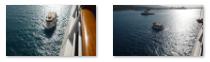
We continued forward out of the harbor, passing the two docked ships and also what looked for all the world like an old pirate ship. A bit further on, there was also a Greek naval vessel. Continuing our forward progress, we noticed a small boat pass our ship heading back towards the dock; you can see it here in a photo that Fred took after it started returning in this direction. I thought I knew what would happen next, so I went up on deck for a while to see if I was right.
|
(Mouseover Image Above for Video Controls) |
In any event, about fifteen minutes after the boat passed us, it was back and coming alongside the Mariner of the Seas. A rope ladder was put down, and you use the movie player at left to watch what happened next. I also took a couple of still pictures of the boat that saved the two guys from a huge hassle:
|
While the guys should have been more careful, accidents do happen, and I was glad for them that they weren't faced with a ruined cruise, but instead would have quite a story to tell. (Postscript: The day after, I was telling Susan about what had gone on, although someone had already told her about it. She mentioned to me that someone had told her that the two guys weren't passengers but rather crew members, which explained why I didn't think I'd see a couple of guys that young around the ship. So I don't know the real story, but missing your ship can be disastrous- crewmember or no.)
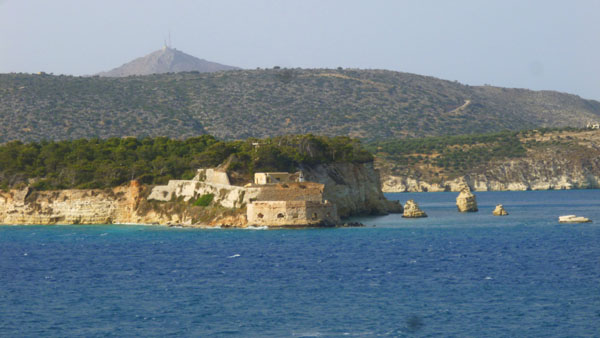
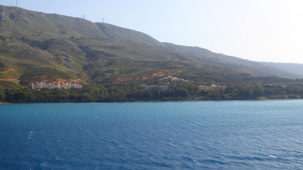
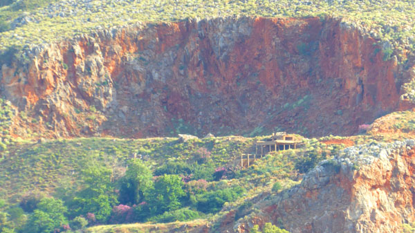
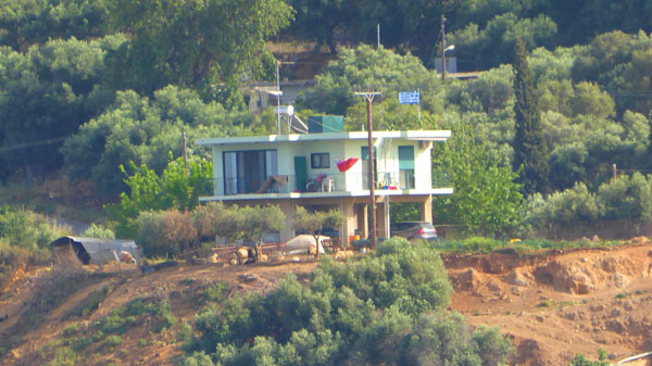
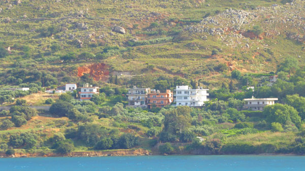
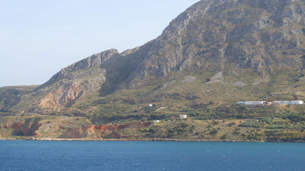
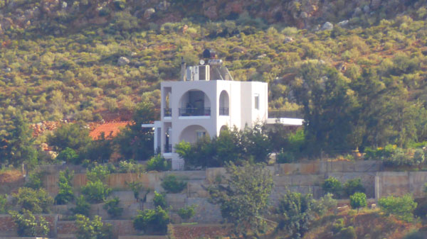
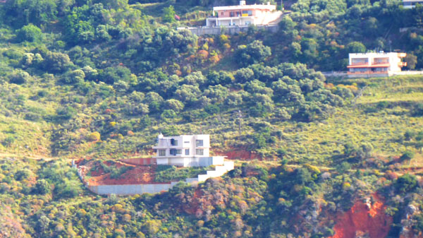
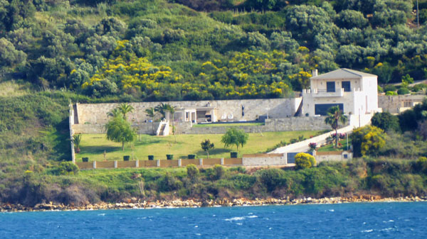
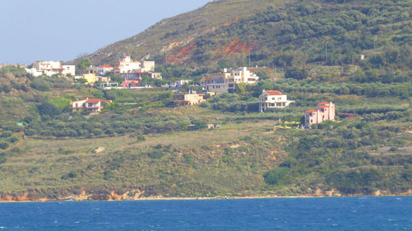
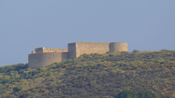
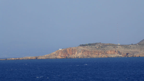
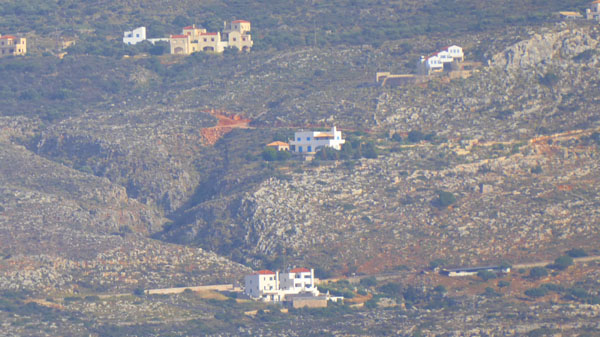
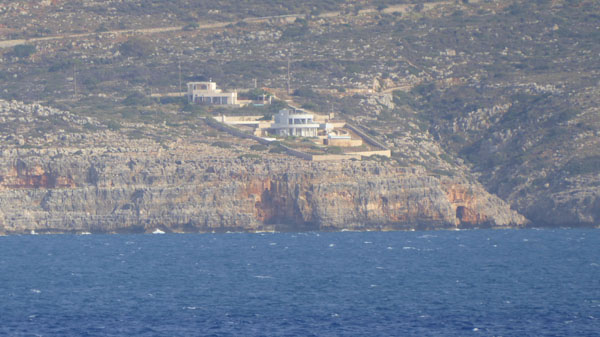
Leaving the Isle of Crete
|
|
The easiest way for you to flip through these pictures is by putting them in a slideshow (at left). It only takes a minute or so to move through all the pictures (by using the little forward and backward arrows in the lower corners of each picture). So if you want to see the photos, it won't take long.
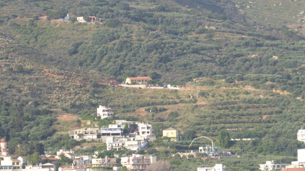
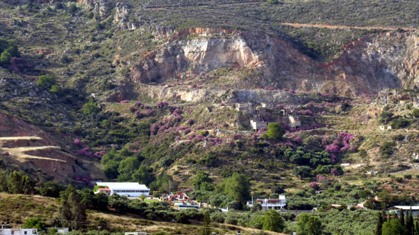
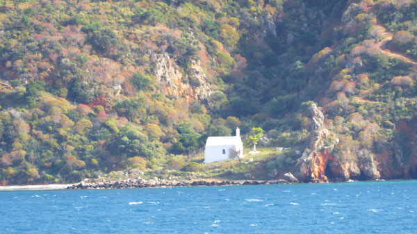
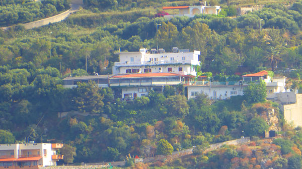
Many of the pictures are of houses perched on the hillsides overlooking the Sea of Crete; in some cases, we couldn't figure out how anyone got to them, as sometimes we couldn't pick out a road or driveway. But I assume they do, and some of the houses seemed very nice- with spectacular sea views. In one picture, Fred spotted what appeared to be a little chapel right down at the base of the hills- again with no discernable way for anyone to get to it, short of a hike. So enjoy looking that these last pictures of Crete.
The end of our cruise is in sight; we have two more sea days now between here and Barcelona, so we will see you next when we dock there!
You can use the links below to continue to another photo album page.
|
May 7, 2018: Our Cruise Ends in Barcelona |
|
May 2, 2018: A Day Tour of Jerusalem (Israel) |
|
Return to the Index for 2018 |