|
Our Ship: The Viking Jupiter |
|
November 16, 2019: An Excursion to Ronda, Spain from Malaga |
|
Return to the Index for 2019 |
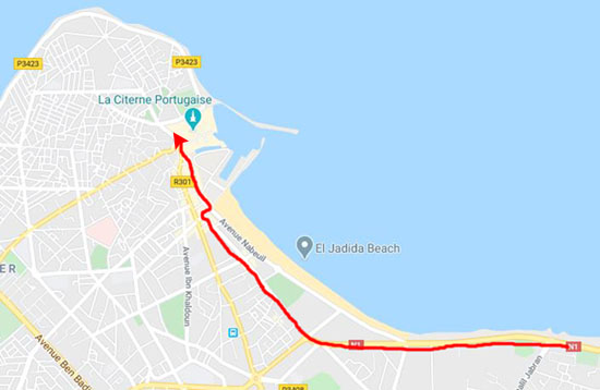
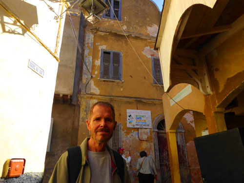
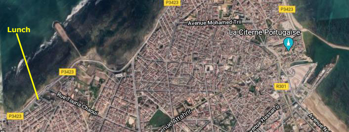
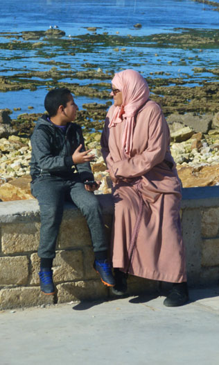
The Viking Jupiter left Malaga about 6PM and after an overnight sail, arrived in Casablanca, Morocco about 7 in the morning. This will be our second time in Casablanca, so rather than take a tour of the city, we have signed up for an excursion to the Portuguese fortress town of El Jadida, a few miles down the coast.
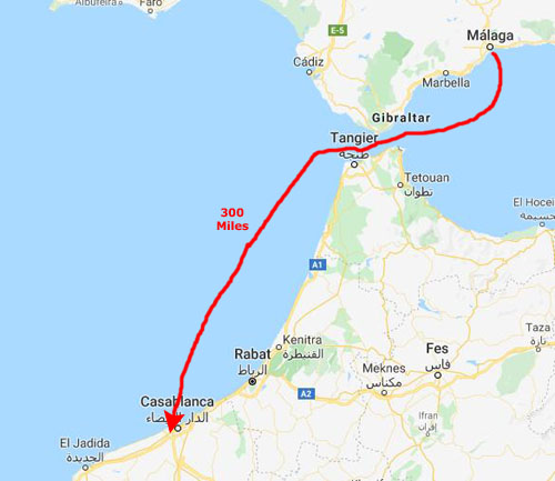
From Malaga to Casablanca
The trip from Malaga to Casablanca was about 300 miles. We left Malaga about 5PM and arrived in Casablanca about 9AM in the morning.
|
|
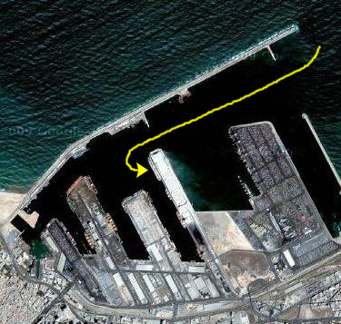
When we were here in 2008, the ship docked at a long, industrial pier, and we had to take shuttles to get out of the port area and into town. I thought that maybe in the intervening decade they might have built something more tourist-friendly, but the situation was pretty much the same on our arrival this time.
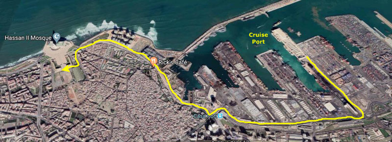
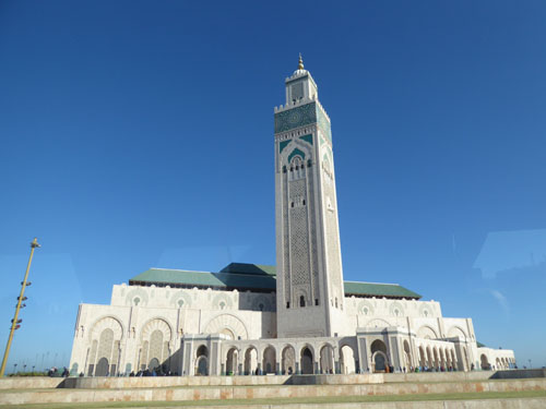
The Hassan II Mosque
Here in the Casablanca cruise port, they don't want people walking through stacks of stuff on the piers, so you have to take little shuttles to where the large shore excursion buses are parked, which is what we did.
|
We hadn't even left the port before we encountered our first mosque- this one apparently serving personnel at the port.
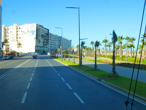
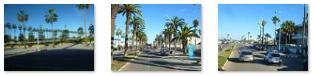
As we rode along that major street that I've marked on the aerial view at left, we passed Rick's Cafe- a name that might be familiar to you. Rick�s Caf� Casablanca, which opened in 2004, was designed to recreate the bar made famous by Humphrey Bogart and Ingrid Bergman in the movie classic Casablanca. We went by the back of it where it is up against the walls of the Old Medina; inside it is filled with architectural and decorative details reminiscent of the film (including an in-house pianist who is often asked to play "As Time Goes By".
There has been a lot of construction activity right near the entrance to the port, and we saw lots of interesting new buildings that have been built since we were here last. Right by the entrance to the port, there was also a new skyscraper going up. There was even a new mall going up, and Fred was intrigued by one of the billboards for it.
|
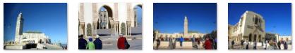
We took some good pictures of the mosque and surrounding complex during our fifteen-minute stop, when most of us got out of the bus to wander around. Here are the best of the pictures that Fred and I took:
|
When we were here in 2008, the mosque was one of the places where we spent a great deal of time, and we took lots of pictures then. If you would like to see more of the Hassan II Mosque, you can use the link below:
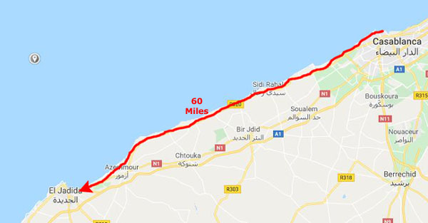
The Drive to El Jadida
From the Hassan II Mosque, our bus took an ocean-front route all the way down to El Jadida- about a sixty-mile, 90-minute trip.
|
Our guide, who kept up a running commentary about how much Jewish people had contributed to Moslem countries like Morocco and how they were getting such a raw deal, told us that when we returned later in the day to Casablanca, we would not take this same road but rather an expressway a few miles inland. But since we were starting out from the Hassan II Mosque, going this way didn't lose all that much time as getting over to the freeway would mean a time-consuming trip through the city.
Anyway, it was a pleasant trip down to El Jadida. I moved up to a seat near the front so I could take a few movies as we drove along, and two of them are below:
|
(Mouseover Image Above for Video Controls) |
(Mouseover Image Above for Video Controls) |
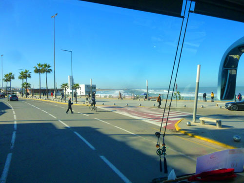
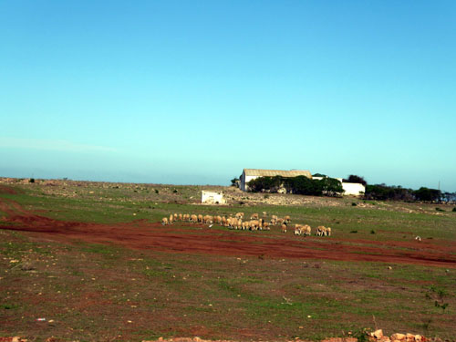
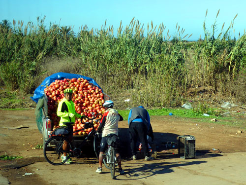
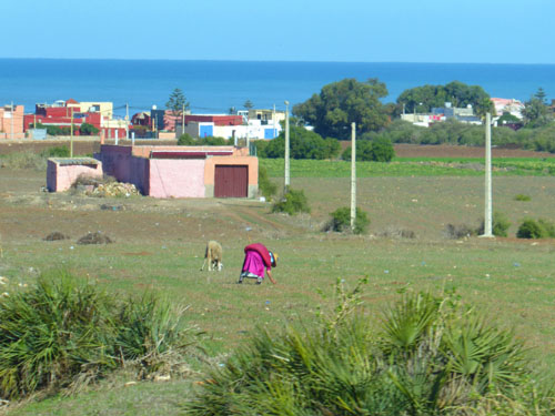
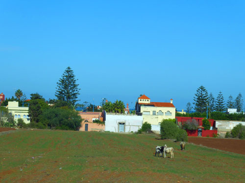
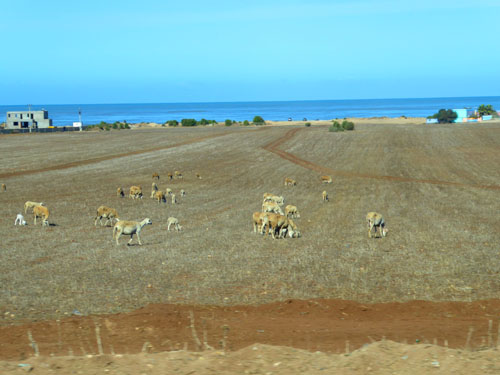
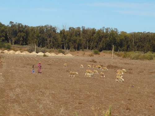
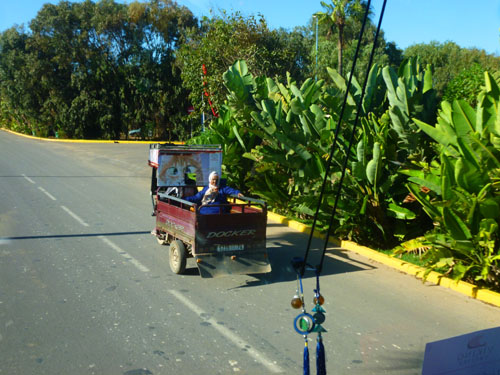
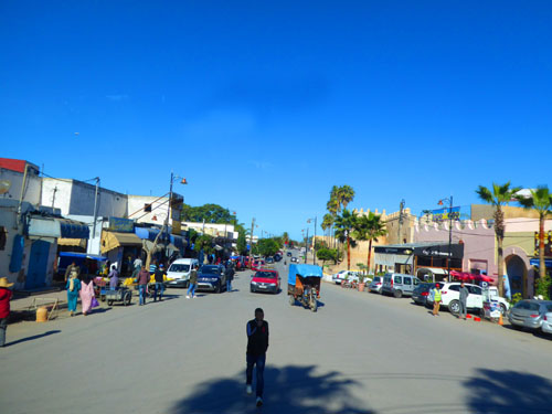
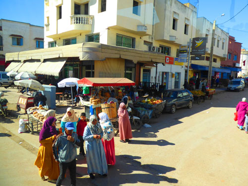
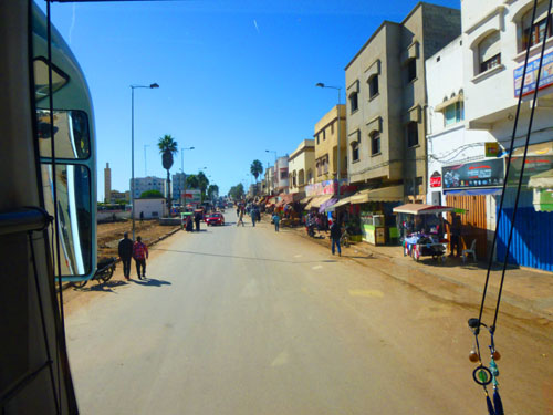
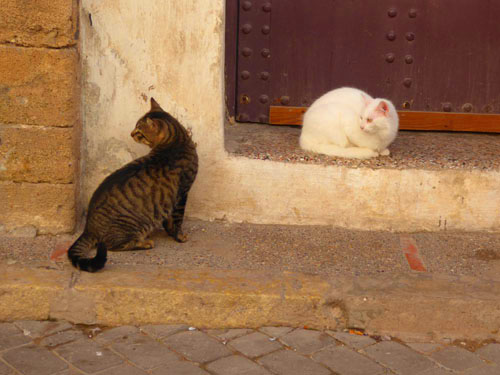
The world has become so homogenous that there are few places so isolated that they present a stark contrast when you visit them, and the northeastern coast of Morocco is no exception. People may do things a little differently, or you might see rather more "human-power" being used, but everything is still pretty much the same. While I was sitting up front looking ahead, Fred was snapping away at his window seat, and both of us ended up with a few pictures that are worth including here in the album.
|
|
|
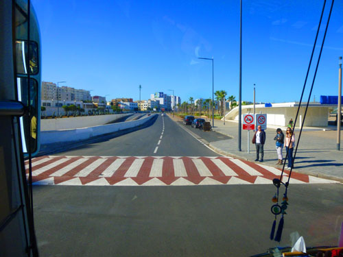
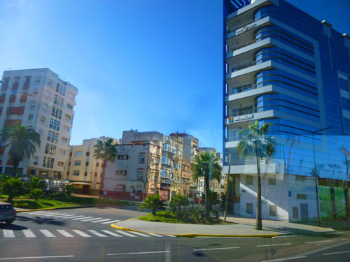
Arriving in El Jadida
Watching the scenery on the way down to Jadida was interesting, but eventually we got to the outskirts of the seaside town.
|
|
(Mouseover Image Above for Video Controls) |
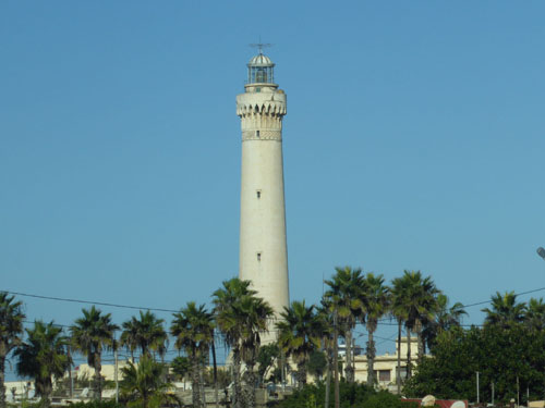
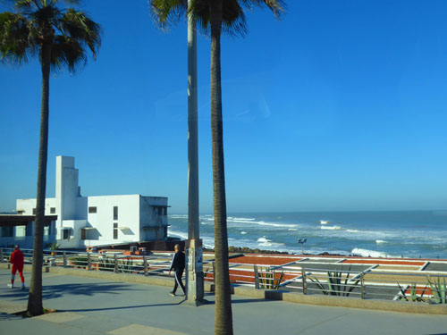
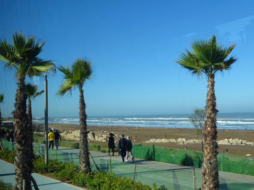
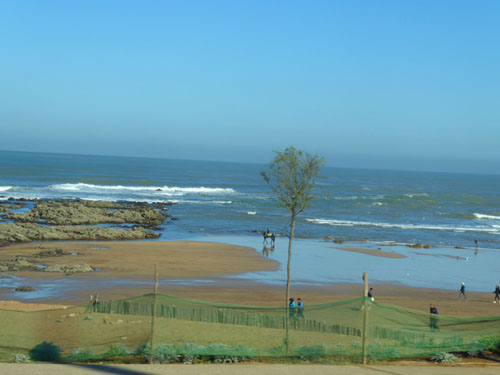
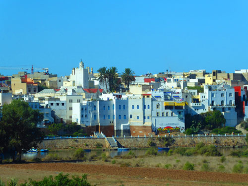
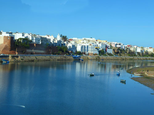
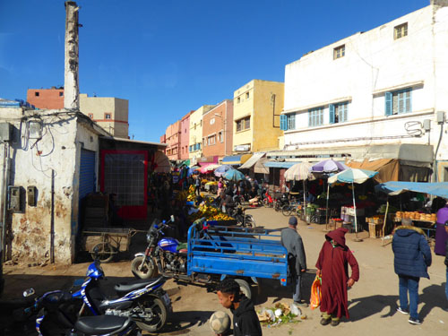
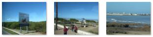
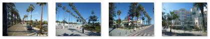
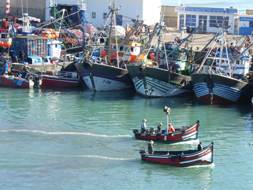
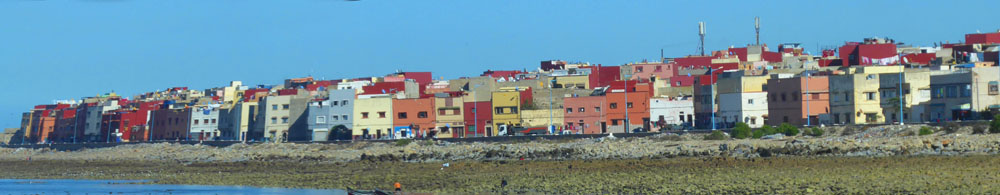
The city of El Jadida, which has about 200,000 residents, does have some manufacturing and other businesses, but tourism is one of the mainstays of the local economy. There are numerous resorts and golf course, and of course there are Jadida's beaches. In the last half of the 20th century, pollution from factories and such ruined many of the beaches, but in recent years a great deal of clean-up has been carried out.
|
|
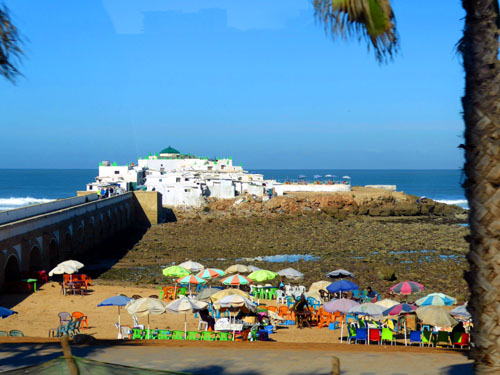
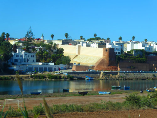
So Why El Jadida, Anyway?
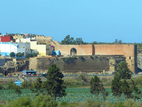
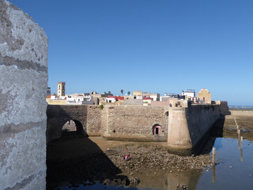
El Jadida, was known as al-Breyja when it was seized by the Portuguese in 1502. The Portuguese built a citadel in 1514, and a larger fortification in 1541. They continued to control the city until 1769, when they abandoned their last territory in Morocco. On their forced departure, the Portuguese destroyed one bastion and evacuated to Brazil. The city was taken over by Sultan Mohammed ben Abdallah that same year but remained in ruins. In the late 1700s, a new Sultan ordered that a mosque be built and the destroyed portions of the city rebuilt. The reinvigorated city was renamed al-Jadida, or "The New".
|
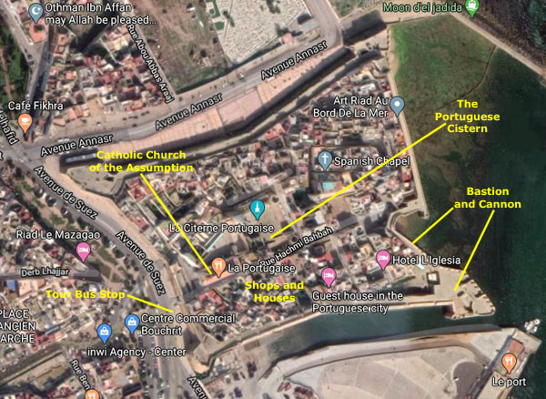
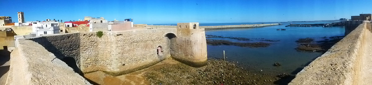
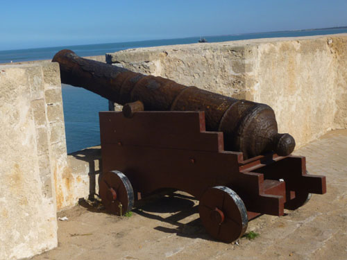
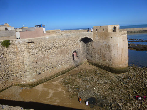
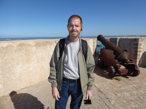
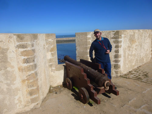
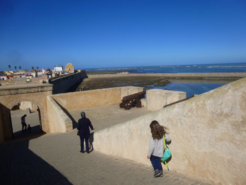
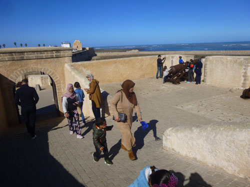
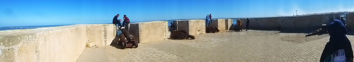
The design of the Fortress of Mazagan is a response to the development of modern artillery in the Renaissance. The star form of the fortress is about 800x900 feet, with slightly inclined, massive walls that are 25 feet high and thirty feet thick, enclosing a patrolling walkway six feet wide. Four bastions remain- Angel Bastion in the east, St Sebastian in the north, St Antoine in the west, and Holy Ghost Bastion in the south. The fifth, the Governor�s Bastion at the main entrance, is in ruins. Numerous colonial-era Portuguese cannons are still positioned on top of the bastions.
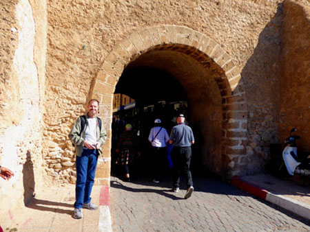
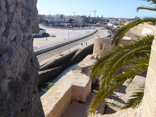
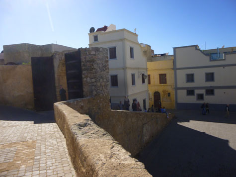
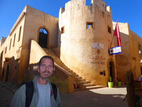
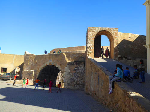
The fort had three gates; we will be entering and leaving via the main, double-arched gate, on the southwest side. There used to be a 50-foot-wide moat around the sides of the fort not on the sea, but during the 1800s it was filled with earth and the new main gate was opened. The current Avenue de Suez is just outside this new gate and the fortress walls; a street named Rue Hachmi Bahbah runs through the fortress from there- passing the Catholic Church of the Assumption and the Portuguese Cistern on its way to the Angel Bastion. These are some of the places we'll stop on our tour of the Fortress.
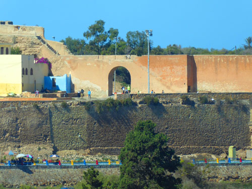
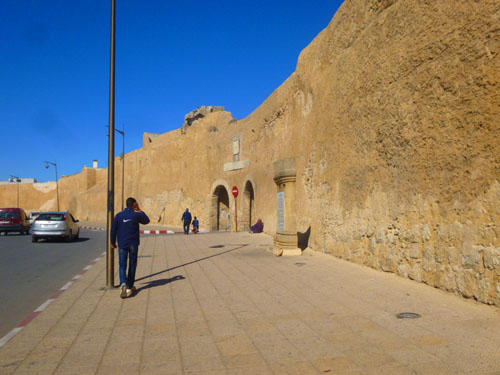
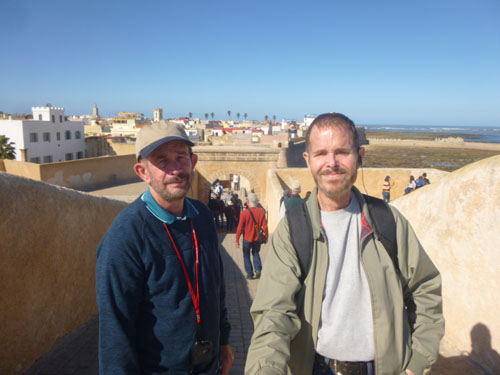
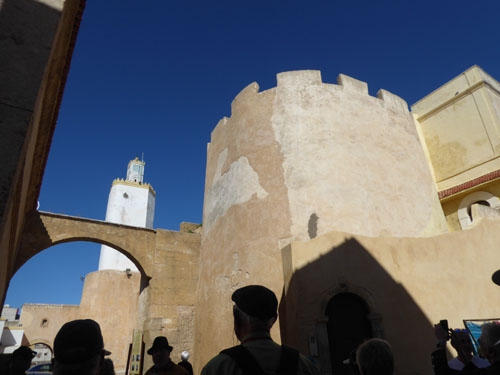
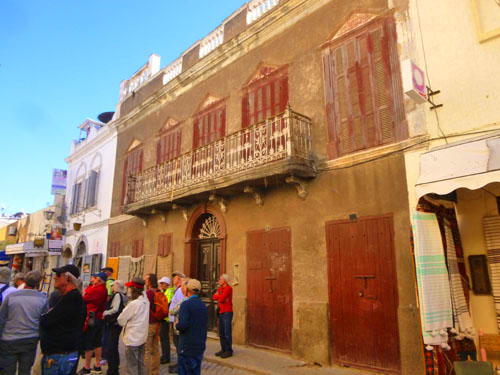
Walls, Gates, and the Angel Bastion
First, we might take a look at the structure of the fortress, as we stopped just outside the southwest walls. We can also take a look at the new gate and also at one of the bastions.
|
|
(Mouseover Image Above for Video Controls) |
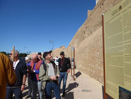
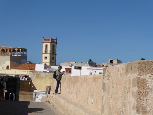
Standing here, the Holy Ghost Bastion was behind me. Soon after we got off the bus, our tour guide gathered us together for an explanation of the fortress, which was good, since the detailed signage outside the fortress was in Arabic and French only. The signs did have some interesting pictures, and I was able to work my way through the French, but what you will read here comes from my memory of what our guide told us supplemented with information from the Internet.
|
|
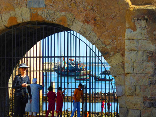
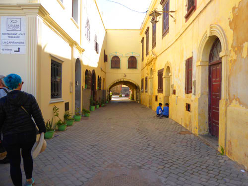
From the new, double-arch gate, we walked down the Rue Hachmi Bahbah. Of course, we stopped at a few sites on the way, but eventually we came to the end of the street, where it terminates in the Sea Gate.
|
I followed Fred up the stairs and walked through the stone entry arch to come out on top of the north wall of the fortress to a palisade with cannon:
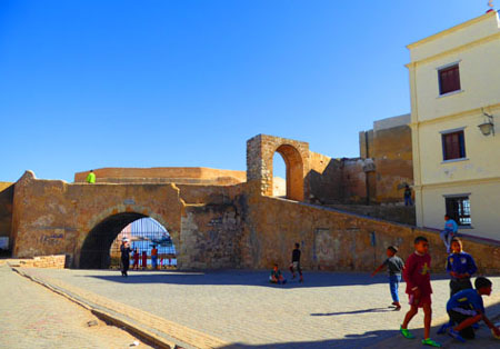
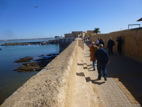
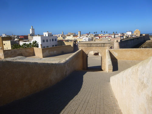
The view was pretty incredible up here, and we found that we could go either to the right, to the Angel Bastion (a bastion is one of the "points" of the fortification where you can look in many directions and had line of fire in all of them) or to the left, a long way around along the sea to St. Sebastian Bastion. In the middle is the Sea Gate, and here is what that view looked like:
|
Our guide told us that we wouldn't have time to to walk all the way to the north bastion, and so suggested we head to the right and go out to the Angel Bastion- where we would also have views out across El Jadida. So that's what we did.
|
|
|
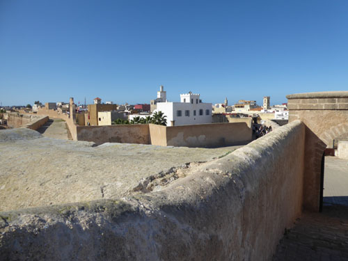
We took lots of good pictures walking along the ramparts, and I want to make it as easy as possible for you to have a look at them. In the slideshow at left, you can move quickly through the 15 pictures I've chosen as representative of what we saw by clicking on the forward and backward arrows in the lower corners of each picture. They are in approximately the order that we took them as we walked out to the Angel Bastion.
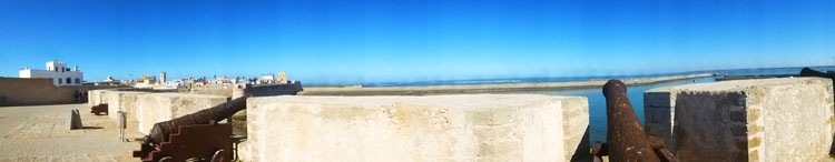
At the bastion itself, I made a couple of panoramic pictures:
|
|
I thought that the walk out to the Angel Bastion was pretty neat; it reminded me of the Fort at St. Augustine (which happens to be shaped approximately the same way) that we visited a few years ago. There were a lot of young folks out here; it must be a popular place for El Jadidites to come on a nice afternoon. Back at the stairs up from the ground level of the fortress, I took a couple of pictures of the buildings at the Sea Gate:
|
|
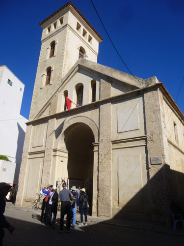
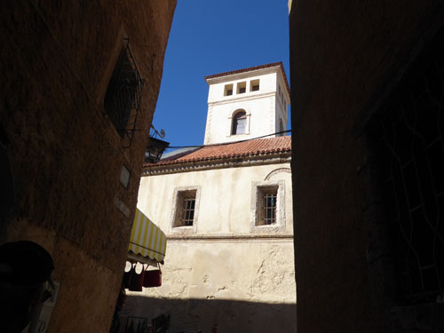
The Church of the Assumption
El Jadida was constructed in the 1500s; once the fortified perimeter was completed, efforts focused on the continuation of the exterior works and the construction of buildings in the town.
|
|
During the 19th century, the upper section of the quadrangular tower of the church was demolished and some shops were built in front of the main fa�ade, later demolished in 1916. After 1916, the existing tower was added, giving rise to the present day tower, which is out of character with the Portuguese building. Inside the church, one expert has said, "the chancel arch is characteristic of the late 15th century, the frame bordered with a moulding with angles on its lower part, is interrupted by the sharp edge of the frame. The side arcades are all encompassed from above by a single rectangular sash, in a disposition also usual in the 16th and 17th centuries�.
Beginning in 1821, the interior was privately occupied and adapted to different needs, but under the French protectorate the building was restored to its function as a Catholic church. Over the last few years it has remained closed to its normal uses while archaeological work has been going on.
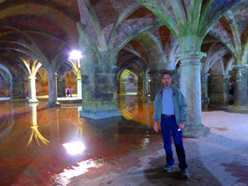
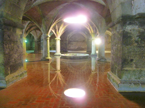
The Portuguese Cistern
When we were finished with lunch, our tour returned to the fortress of Mazagan to visit the Portuguese Cistern, an ancient cistern (water catchment) that lies beneath the old Portuguese city. The Portuguese Cistern is a classified cultural heritage monument in Morocco. The entrance to the Portuguese Cistern is very plain, with only a small sign to announce its location. It is just a hundred feet or so seaward from the Church of the Assumption, and this view looks back towards the main entrance to the Portuguese City.
|
|
The Portuguese Cistern is the most famous Portuguese historical monument in El Jadida. Almost in the center of the fortress, it has the appearance of being the the first nucleus of Mazagan. Its construction dates back to 1514 when the first Portuguese citadel (Chateau Fort Manuelin) was built by the two architects Fransisco de Arruda and his brother Diego.
It cistern is adjacent to the Moroccan Watchtower- El Brija- which was built next to the cistern on the seaward side. The tower, which is to the right of entry door to the cistern, is actually occupied by a police station. The cistern itself probably served as a warehouse for ammunition and weapons storage before being transformed into a water tank.
|
The cistern itself is a large semi-underground room with an almost square shape, 100 feet on a side. It has 25 massive pillars that support a roof made of a series of stone ribs and Gothic vaults in fired bricks marking the manual style of the early sixteenth century. Twelve of the pillars have a round barrel, the other thirteen are square. The vaults rise to to make the room about 15 feet high. The roof of the building is a flat terrace.
In the absence of archaeological excavations, it is difficult to identify the exact technique used to supply water to the reservoir. But historical evidence points to the presence of a well outside the walls of the fortress on the west side which supplied the tank with water through a system of pipes running through the citadel. The tank was also supplied by rainwater. A circular opening in the center of the roof let in rainwater collected there; the low circular wall that used to be on the roof is today in the middle of the tank. That opening today also admits a soft daylight that allows the columns and the vaults to be reflected on the few inches of water that is almost always present in the cistern.
The tank could contain approximately 140000 cubic feet of water. You can still spot on the walls and pillars the traces of the maximum level of water once stored in the cistern.
|
|
The cistern by its distinctive architectural style has aroused the admiration of the great filmmakers and artists of the world. It was used in the filming of several movies; one, "Othello", which was directed by Orson Welles, won the Palmes d'Or in Cannes in 1952.
The cistern has been open to the public since May 1918. It was classified as a national historic monument in 1919. In 2004, the Portuguese Cistern was placed on UNESCO's list of sites and objects regarded as part of the "Universal Cultural Heritage of Humanity" as part of the placement of the Mazagan fortress on that list.
I made a couple of decent movies here in the Cistern, and you can use the players below to watch them. Both of them show you around part of the Cistern, and you can get a better appreciation of what it was like to be in here.
|
(Mouseover Image Above for Video Controls) |
(Mouseover Image Above for Video Controls) |
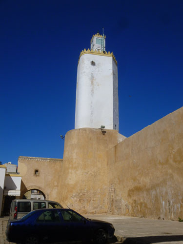
The Mazagan Mosque
Another major feature here in the fortress is the great mosque. The Mazagan mosque (currently known as "Al Masjid") was built on the orders of the Alawite sultan Abderrahman Ben Hicham (1859-1822) during the restoration and rehabilitation of the Portuguese fortress carried out in the 1920s. The king ordered the creation of a mosque in Mazagan to encourage Moroccans to settle and live there.
|
|
The Rebate tower was transformed into the minaret of the mosque after 1880, under the reign of the Alawite sultan Moulay Hassan 1st (1894-1873). Thanks to its height, the new minaret allowed people to hear the call to prayer more easily. This tower was connected to the mosque by a small bridge surmounted by a small room. The ancient four-faceted minaret is still located next to the mosque on the facade overlooking the street.
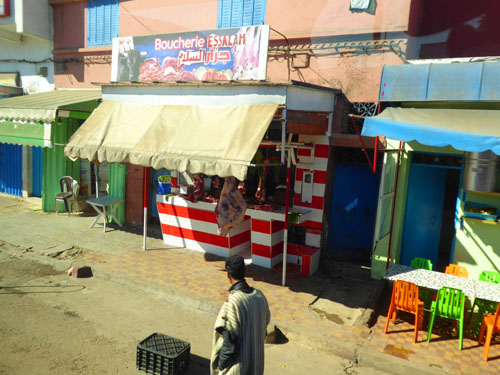
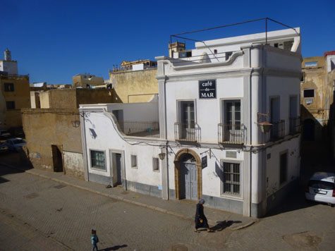
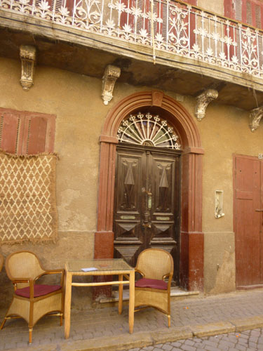
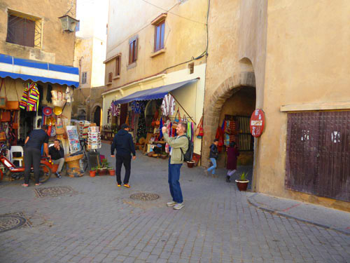
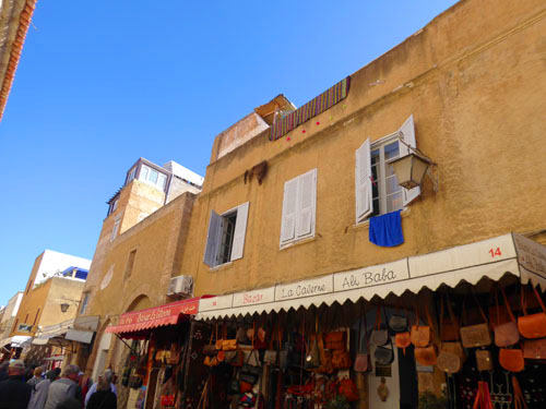
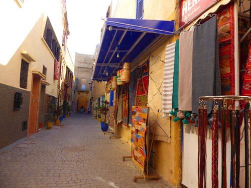
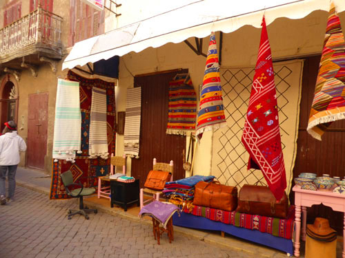
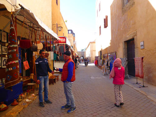
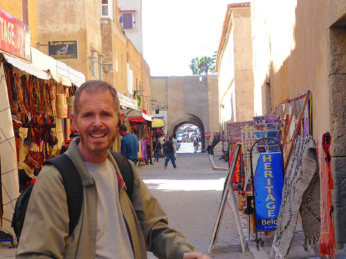
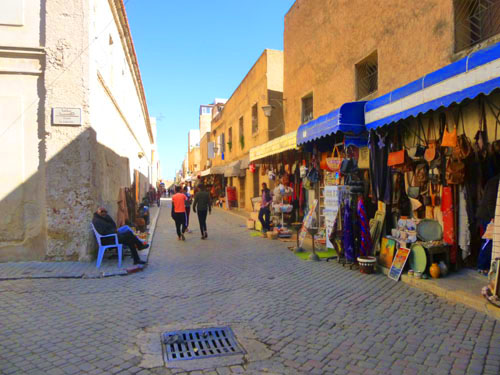
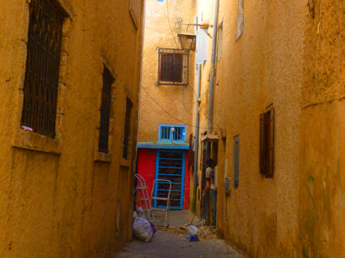
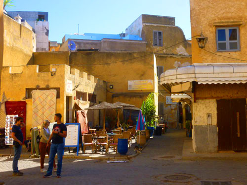
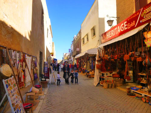
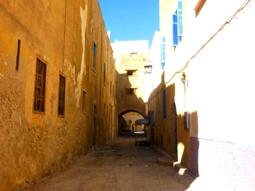
Street Scenes from the Mazagan Fortress
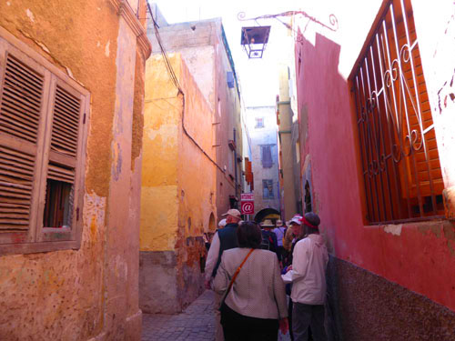
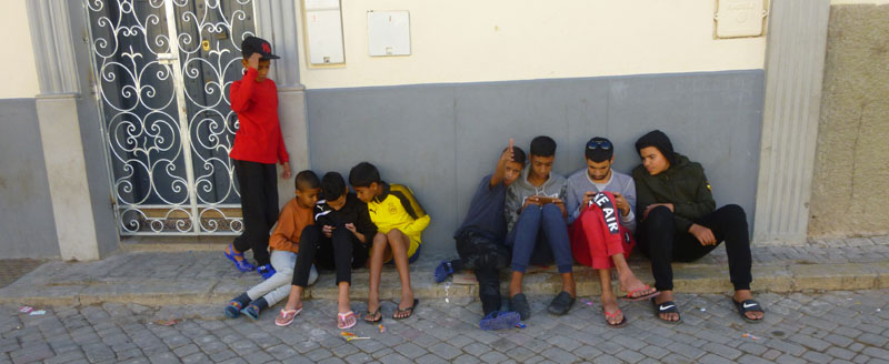
In addition to visiting the church, cistern, mosque, and battlements, our tour group did a fair amount of walking through the narrow streets of the old city fortress.
|
|
|
Using this technique, I can allow you to look quickly and easily at the twenty-seven pictures I've selected for inclusion here. If you've not seen one of these slideshows before, you can move backward and forward through the pictures by clicking on the little arrows in the lower corners of each one.
And for those of you "of a certain age", who remember saying in a movie theatre "I think this is where we came in", you'll know when that time arrives in the slideshow by referring to the index numbers in the upper left.
|
And, in case you're curious, I did ask permission- which is why the one kid is giving me a Moroccan "thumbs up".
We Have Lunch in El Jadida
Lunch was included in today's shore excursion, and it actually occurred after our walk through the fortress but before our visit to the Portuguese Cistern. (Visits there are regulated, and our group was scheduled for the afternoon.)
|
|
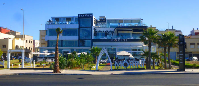
Our lunch spot was on the ocean- The Morini Skyview Restaurant. I've looked it up since our return, and it turns out to be one of the most notable restaurants in El Jadida. The food gets good reviews and people say that the ocean views are also an attraction.
|
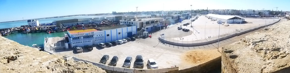
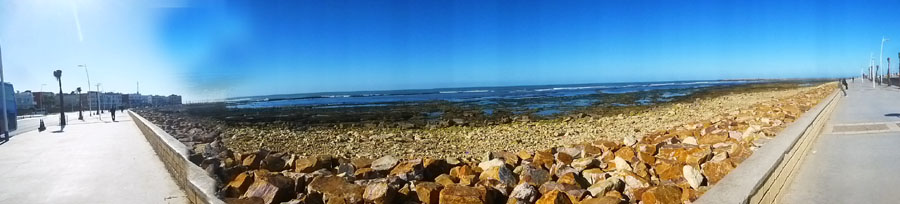
After lunch, I walked across the street to the seawall, which is where I got the picture at left and the panoramic view below:
As I said, we returned to the Mazagan Fortress after lunch for our tour of the Portuguese Cistern.
Returning to the Viking Jupiter
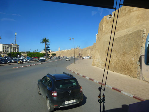
About 3PM, our tour bus returned to the fortress to pick us up for the return trip to the port in Casablanca and the Viking Jupiter.
|
(Mouseover Image Above for Video Controls) |
I also took some still pictures out the bus front window as we made out way out of El Jadida and over to the expressway back to Casablanca:
|
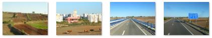
Once on the expressway, it was a smooth one hour trip back to the city. We didn't take as many pictures going back since we were mostly out in the country, but still there were some interesting sights to see.
|
|
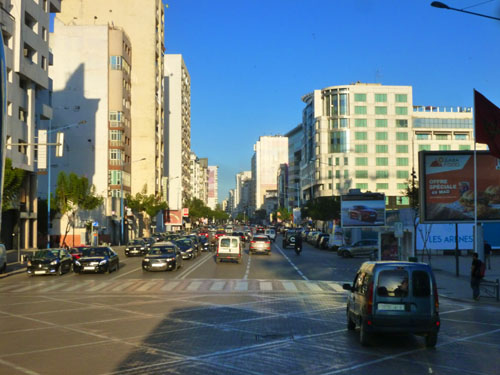
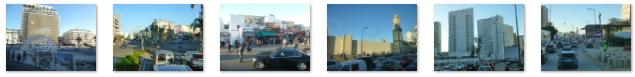
It was rush hour when we got back to the city, and the traffic was bumper to bumper. The traffic was moving slowly enough that we could get some good pictures of late-afternoon Casablanca, and here are some of them:
|
We got back to the ship about 45 minutes before the all aboard time. The nice thing about doing shore excursions booked through the ship is that they won't leave without you! Touring El Jadida was very interesting, although it was nice to be back on board. Now we'll have a couple sea days before we get to Dakar, Senegal.
You can use the links below to continue to another photo album page.
|
Our Ship: The Viking Jupiter |
|
November 16, 2019: An Excursion to Ronda, Spain from Malaga |
|
Return to the Index for 2019 |